


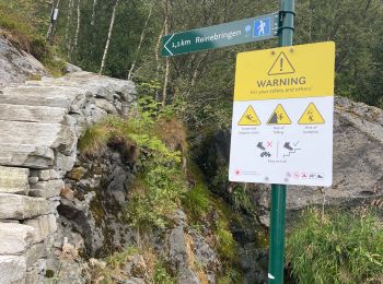
4,5 km | 7 km-effort
Nordland : découvrez les meilleures randonnées : 4 a pied et 34 marche. Tous ces circuits, parcours, itinéraires et activités en plein air sont disponibles dans nos applications SityTrail pour smartphones et tablettes.
Marche


• Trek
Marche
• Trek
A pied
Marche
• Superbe randonnée et plage magnifique accessible que par les chemins . Faite le 28/07/18
Marche
• Trek
Marche
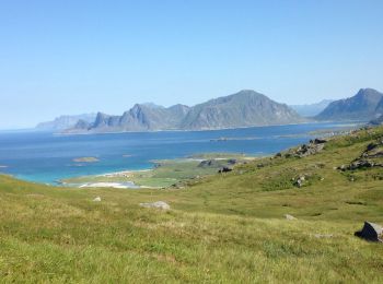
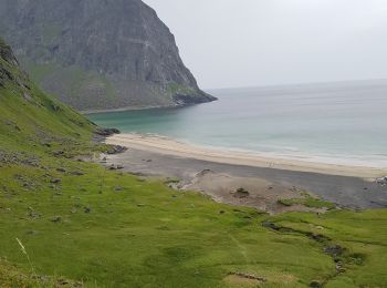
• une randonnée avec une superbe vue sur une plage de sable blanc. abordée par le côté le plus facile

Marche
• Boucle passant par un trou dans la montagne. Chemin constitué de marches en pierre pour les parties raides. Belle bal...
Marche
• Trek
Marche
• Trek
Marche
• Trek
Marche
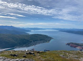
• Magnifique
Marche
• 1978 marches
Marche
• Bloqué par le torrent, obligé de rebrousser chemin
Marche
• More information on GPStracks.nl : http://www.gpstracks.nl
Marche
Marche

A pied
A pied
A pied
Marche
20 randonnées affichées sur 38
Application GPS de randonnée GRATUITE
 SityTrail
IGN / Instituts géographiques
SityTrail World
Le monde est à vous