


8,9 km | 14 km-effort
Slovénie : découvrez les 110 meilleurs circuits de randonnée pédestre ou à vélo. Notre catalogue préparé à la main par nos randonneurs regorge de superbes paysages qui n'attendent qu'à être explorés. Téléchargez ces itinéraires dans SityTrail, notre application de GPS de randonnée gratuite disponible sur Android et iOS.
A pied


Marche
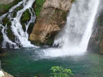
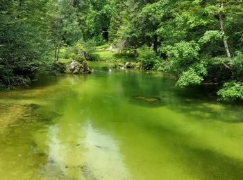
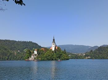
• Balade autour du lac de Bohinj par le sentier nord (plus sauvage).
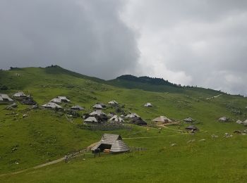
Marche
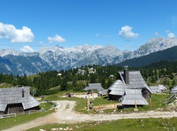
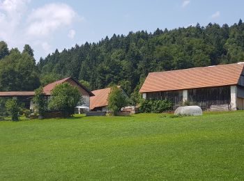
• Une randonnée dans les alpages pour découvrir ce village de bergers et ses chalets en bois. Au départ le téléphérique...
Marche
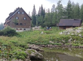
• Étape 4: Koča pri Triglavskih jezerih (1685 m) – Štapce (1851 m) – Bregarjevo zavetišče na planini Viševnik (1620 m) ...
Marche
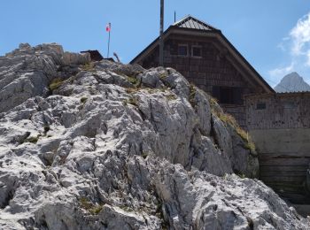
• Étape 3: Koča na Doliču (2151 m) – Kanjavec (2568 m) – Zasavska koča na Prehodavcih (2071 m) – Koča pri Triglavskih j...
Marche
• Étape 2: Pogačnikov dom na Kriških podih (2050 m) – Bovški Gamsovec (2391 m) – Luknja (1756 m) – Koča na Doliču (2151...
Marche
• Étape 1: Col de Vršič (1611 m) – Point de vue des filles païennes – Na robu – Plaque de Zadnje – Sedlo Planja (2349) ...
Marche
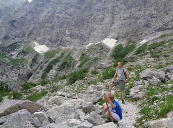
• Très technique et éprouvant sur les cinq premiers kilomètres mais ça vaut le coup ! Les derniers kilomètres font mal...
Marche
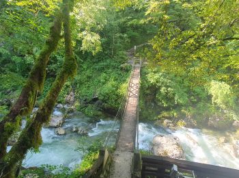
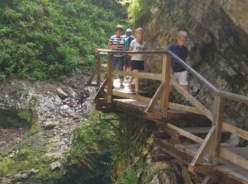
• Balade le long de la Tolminka (entrée payante)
Marche
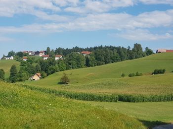
• Beau tour, facile
A pied
A pied
A pied
Marche
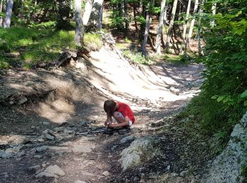
• assez dur par temps chaud

Marche
• petit tour Chapelle et restaurant
Marche
Marche
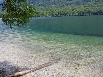
• rive nord
Marche
• chemin du parking 3 au plateau de Velika Planina

A pied
• http://wiki.openstreetmap.org/wiki/WikiProject_Austria/Wanderwege Symbole: no symbol, just guideposts
A pied
• Symbole: weiss-grün 1
20 randonnées affichées sur 110
Application GPS de randonnée GRATUITE
 SityTrail
IGN / Instituts géographiques
SityTrail World
Le monde est à vous