


12,5 km | 15,3 km-effort
Luxembourg : découvrez les meilleures randonnées : 274 cheval, 346 randonnée équestre et 25 attelage. Tous ces circuits, parcours, itinéraires et activités en plein air sont disponibles dans nos applications SityTrail pour smartphones et tablettes.
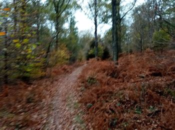
Randonnée équestre


• Superbe promenade dans les bois

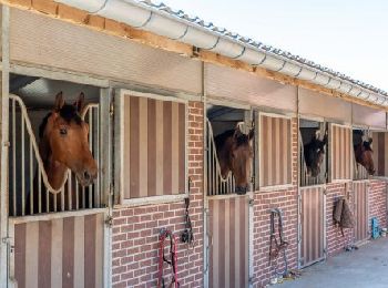
Cheval
• Si vous vous garez au Châtelet, merci de prévoir un ramasse crottins et de laisser l'endroit propre. Balade praticabl...

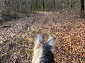
Cheval
• 28 kms halte à 17.5 kms
Randonnée équestre
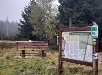
Randonnée équestre
• Du Maka, après un passage à gué vers le territoire de la commune de Bertrix. Collaboration : LEWB
Cheval
• Attelage
Cheval
• parcours rallye equestre 2014
Cheval
•
Randonnée équestre
• Superbe balade
Randonnée équestre
• Balade
Cheval
• Déviation faite par le Domaine sur la Route de Madame d'Artagnan - logement
Cheval
• Déviation faite par le Domaine sur la Route de Madame d'Artagnan - logement
Randonnée équestre
Randonnée équestre
• Rando
Randonnée équestre
Randonnée équestre
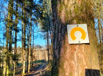
• Balade balisée sur une bonne partie même si on le passe pas par le chêne de 4 fils Aymon pour éviter les portions de ...

Randonnée équestre
Randonnée équestre
Randonnée équestre
• rando equestre
Randonnée équestre
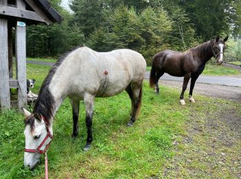
• Départ d’un parking accessible pour les camions chevaux et van, très belle promena de dans les bois, avec vue pour fa...
20 randonnées affichées sur 640
Application GPS de randonnée GRATUITE
 SityTrail
IGN / Instituts géographiques
SityTrail World
Le monde est à vous