


18,4 km | 24 km-effort
Hotton : découvrez les meilleures randonnées : 282 pédestres, 38 à vélo ou VTT et 1 parcours équestres. Tous ces circuits, parcours, itinéraires et activités en plein air sont disponibles dans nos applications SityTrail pour smartphones et tablettes.
Marche


• Marenne, Ménil-Favay, bois du Fond du Grand Pouhon, Fauviné, Champlon- Famenne, Verdenne, bois du Fond du Grand Pouho...

Vélo
Marche
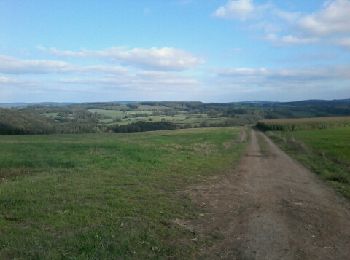
• Sur la Calestienne, entre Ardenne et Famenne : Hotton Dans quel type de paysage randonnons-nous ? Le but de cette ran...
Marche
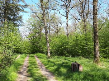
• En passant par l île aux castors, le bois des oiseaux et chemin monotone en automne...
Marche
• La Maison du Tourisme du Pays d'Ourthe et Aisne a le plaisir de vous présenter ce circuit thématique, orienté autour ...
Marche
Marche
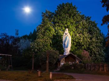
• La Promenade de la Pierre à Hotton est une balade familiale qui ravira tous les amoureux de la nature. En plein cœur ...
Marche
• Magnifique balade. A faire absolument !

A pied
• Randonnée créée par Royal Syndicat d'Initiative de Hotton.
A pied
• Randonnée créée par Royal Syndicat d'Initiative de Hotton.
A pied
• Randonnée créée par Royal Syndicat d'Initiative de Hotton.

A pied
• Randonnée créée par Royal Syndicat d'Initiative de Hotton.
A pied
• Randonnée créée par Royal Syndicat d'Initiative de Hotton.
A pied
• Randonnée créée par Royal Syndicat d'Initiative de Hotton.
A pied
• Randonnée créée par Royal Syndicat d'Initiative de Hotton.
A pied
• Randonnée créée par Royal Syndicat d'Initiative de Hotton.
A pied
• Randonnée créée par Royal Syndicat d'Initiative de Hotton.
A pied
• Randonnée créée par Royal Syndicat d'Initiative de Hotton.
V.T.T.
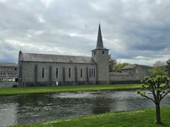
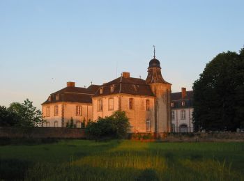
• Parcourez les villages de Melreux, Monville et bien évidemment Deulin où se trouve un magnifique château (classé Patr...

Marche
• La Promenade de la Pierre à Hotton est une balade familiale qui ravira tous les amoureux de la nature. En plein cœur ...
20 randonnées affichées sur 329
Application GPS de randonnée GRATUITE
 SityTrail
IGN / Instituts géographiques
SityTrail World
Le monde est à vous