


3,7 km | 4,2 km-effort
Étalle : découvrez les meilleures randonnées : 159 pédestres, 44 à vélo ou VTT et 26 parcours équestres. Tous ces circuits, parcours, itinéraires et activités en plein air sont disponibles dans nos applications SityTrail pour smartphones et tablettes.
Marche


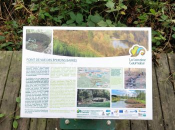
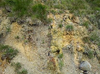
• La balade vous fera découvrir une curiosité géologique de la Lorraine, au gré d''une douce itinérance dans des paysag...

V.T.T.
•

Marche
• promenade
Marche
•
Marche
• parcours de 10 km relativement plein 99 % dans les bois.
A pied
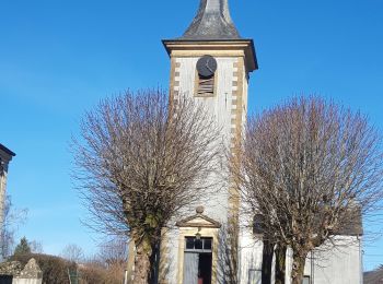
• Randonnée créée par Gaume. Bienvenue à Etalle. Cette promenade vous emmènera à travers champs et villages à la dé...
A pied
• Randonnée créée par Gaume. Vous voici dans le village de Fratin. Village peu connu mais d'un charme ravageur, Fra...
Marche
• attention erreur vers le 4ème km. hors piste sur 200m avec 30m de D-
Marche
• Repérage pour rando "Âge de Fer"
Marche

Cheval
• Route d'Attelage - Anciens chemins suivis par d'anciennes diligences au temps des Malles-Poste mais aussi quelques ki...

V.T.T.
• Beau parcours très long et difficile
Vélo
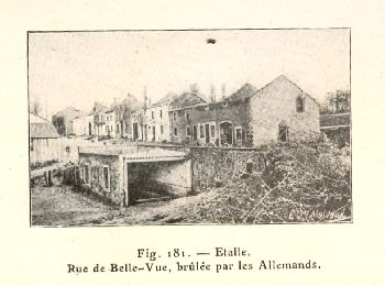
• À mi-chemin entre les villages martyrs d’Ethe, Tintigny, Rossignol et Houdemont, Étalle et les sept localités qui s’y...

V.T.T.
• À mi-chemin entre les villages martyrs d’Ethe, Tintigny, Rossignol et Houdemont, Étalle et les sept localités qui s’y...
Marche
• Site historique et d'interet biologique.
Vélo
• La balade vous fera découvrir une curiosité géologique de la Lorraine, au gré d'une douce itinérance dans des paysage...
Marche
• Marche de 10 km sur un parcours sans difficultés.
Marche
Marche
Marche
20 randonnées affichées sur 221
Application GPS de randonnée GRATUITE
 SityTrail
IGN / Instituts géographiques
SityTrail World
Le monde est à vous