


9,4 km | 10,7 km-effort
Lubbeek : découvrez les meilleures randonnées : 30 pédestres, 3 à vélo ou VTT et 1 parcours équestres. Tous ces circuits, parcours, itinéraires et activités en plein air sont disponibles dans nos applications SityTrail pour smartphones et tablettes.
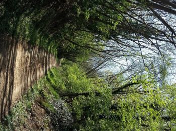
A pied


• Randonnée créée par Toerisme Vlaams-Brabant. Symbole: hexagon
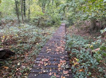
A pied
• Randonnée créée par Regionaal Landschap Noord-Hageland. Symbole: triangle
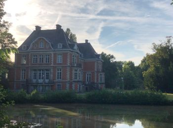
A pied
• Randonnée créée par Regionaal Landschap Noord-Hageland. Symbole: red triangle
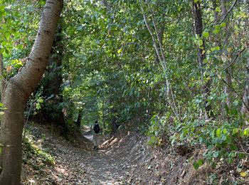
A pied
• Randonnée créée par Regionaal Landschap Noord-Hageland. Symbole: dot
A pied
• Randonnée créée par Toerisme Vlaams-Brabant. Symbole: hexagon
A pied
• Randonnée créée par Toerisme Vlaams-Brabant. Symbole: hexagon
Marche
Marche

Cheval
Marche

A pied
• Randonnée créée par Toerisme Vlaams-Brabant. Symbole: hexagon

V.T.T.
•
Marche
Marche

Marche
• Korte wandeling 5,5 km vanuit Drogenhof in Pellenberg
Marche
Marche
• More information on GPStracks.nl : http://www.gpstracks.nl
Marche
• More information on : http://www.wandelroutes.org
Marche
• More information on : http://www.wandelroutes.org
Marche
• More information on : http://www.wandelroutes.org
20 randonnées affichées sur 36
Application GPS de randonnée GRATUITE
 SityTrail
IGN / Instituts géographiques
SityTrail World
Le monde est à vous