


8 km | 11,3 km-effort
Lenzkirch : découvrez les meilleures randonnées : 11 pédestres et 5 à vélo ou VTT. Tous ces circuits, parcours, itinéraires et activités en plein air sont disponibles dans nos applications SityTrail pour smartphones et tablettes.
A pied


• Randonnée créée par Schwarzwaldverein. Symbole: Blaue Route auf weißem Grund
A pied
• Randonnée créée par Schwarzwaldverein. Symbole: Blaue Raute auf weißem Grund
A pied
• Randonnée créée par Schwarzwaldverein. Symbole: Blaue Raute auf weißem Grund

A pied
• Randonnée créée par HTG.

V.T.C.
• Belle randonnée à peine sportive, hyper roulante, très beaux points de vue.

Marche
• pieds
A pied
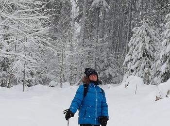
Raquettes à neige
V.T.T.
• Rando roulante mais avec plusieurs pentes très supérieures à 20%, et différentiel de température de plus de 10°C.
Marche
• More information on GPStracks.nl : http://www.gpstracks.nl
Marche
Marche
Marche
V.T.C.
V.T.C.
V.T.C.
Marche
17 randonnées affichées sur 17
Application GPS de randonnée GRATUITE
 SityTrail
IGN / Instituts géographiques
SityTrail World
Le monde est à vous