


13 km | 19,2 km-effort
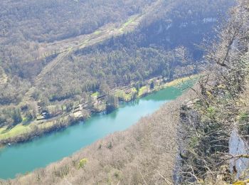
Hautecourt-Romanèche : découvrez les meilleures randonnées : 22 pédestres et 4 à vélo ou VTT. Tous ces circuits, parcours, itinéraires et activités en plein air sont disponibles dans nos applications SityTrail pour smartphones et tablettes.
Marche


• belle

 10.828
sport
Marche
• romaneche cize Villette romanechr

Marche
•
Marche
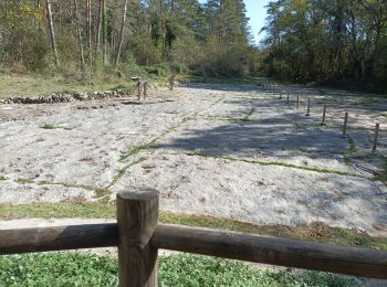
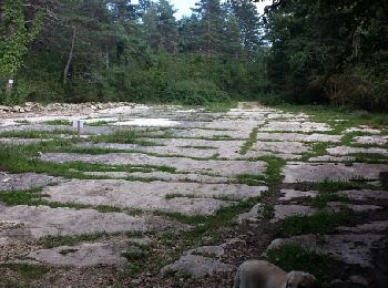
• Départ Hautecourt
Marche
Marche
•
Marche
•
Marche
•
Marche
•
Marche
•
Marche
•
Marche
Marche
Marche
Marche
Marche
Marche
Marche
Marche
20 randonnées affichées sur 27
Application GPS de randonnée GRATUITE
 SityTrail
IGN / Instituts géographiques
SityTrail World
Le monde est à vous