


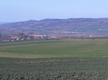
19,9 km | 26 km-effort
Pont-à-Mousson : découvrez les meilleures randonnées : 17 pédestres et 490 à vélo ou VTT. Tous ces circuits, parcours, itinéraires et activités en plein air sont disponibles dans nos applications SityTrail pour smartphones et tablettes.

V.T.T.


• Stage initiateur
V.T.T.
• assistance : 1/2 conso batt 5/10 ext 2/5
Marche
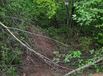
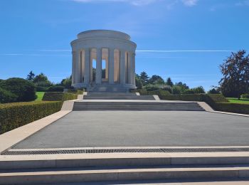
• Longebeau Mousson redescente par route du cimetière bifurcation à gauche et retour par rue Gaston Petit
Marche
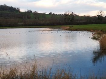
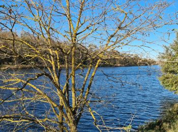
• tour etang
Marche
Marche
Marche
V.T.T.
• facile mais gra
V.T.T.
Vélo de route
Vélo de route
Vélo de route
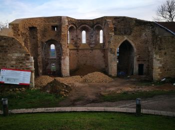
• TOURISTE : 64 km PaM - Atton - Port sur Seille - Eply - Raucourt - Saint Jure - à droite D113E - Proximité Alémont – ...
V.T.T.
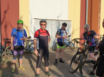
• Aujourd'hui terrain sec
V.T.T.
• Parcours sec et ensoleillé
V.T.T.
• Aujourd'hui certains parcours était grand
Marche
V.T.T.
• Le terrain était Roulant
V.T.T.
V.T.T.
• Très bonne sortie
V.T.T.
• Un dur de roulait sur la neige
20 randonnées affichées sur 508
Application GPS de randonnée GRATUITE
 SityTrail
IGN / Instituts géographiques
SityTrail World
Le monde est à vous