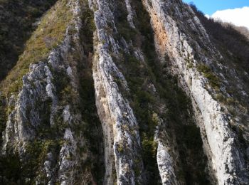
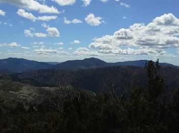
Majastres, Alpes-de-Haute-Provence : Les meilleures randonnées, itinéraires, parcours, balades et promenades

Majastres : découvrez les meilleures randonnées : 11 pédestres et 4 à vélo ou VTT. Tous ces circuits, parcours, itinéraires et activités en plein air sont disponibles dans nos applications SityTrail pour smartphones et tablettes.


Les meilleurs parcours (14)
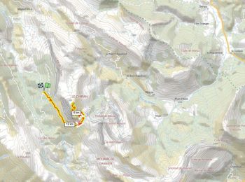
Randonnée Marche Majastres - Majastres Chiran - Photo
Marche 16.544
Km

Marche

Difficile
Majastres, Provence-Alpes-Côte d'Azur, Alpes-de-Haute-Provence, France
16,5 km | 29 km-effort
4h 54min
956 m
957 m
Oui
thierry13710

Randonnée Marche Majastres - Observatoire Mt Chiran 1900m D+600m - Photo
Marche 14.202
Km

Marche

Très difficile
Majastres, Provence-Alpes-Côte d'Azur, Alpes-de-Haute-Provence, France
14,2 km | 22 km-effort
5h 0min
587 m
589 m
Oui
ericberlin

• http://astro-blieux.fr/

Randonnée Marche Majastres - La Clue de la Melle - Photo
Marche 17.081
Km

Marche

Très facile
Majastres, Provence-Alpes-Côte d'Azur, Alpes-de-Haute-Provence, France
17,1 km | 27 km-effort
7h 53min
722 m
720 m
Oui
PITOUSSAINT

Randonnée Marche Majastres - Le Chiran - Photo
Marche 6.759
Km

Marche

Très facile
Majastres, Provence-Alpes-Côte d'Azur, Alpes-de-Haute-Provence, France
6,8 km | 12,2 km-effort
3h 2min
542 m
19 m
Non
denis.petiaud

• trajet aller

Randonnée V.T.T. Majastres - Majastre Chiran - Photo
V.T.T. 24.8
Km

V.T.T.

Moyen
Majastres, Provence-Alpes-Côte d'Azur, Alpes-de-Haute-Provence, France
25 km | 36 km-effort
3h 31min
840 m
837 m
Oui
Bruno.r

Randonnée Marche Majastres - La Croix de la Melle - Le poil - Photo
Marche 11.042
Km

Marche

Difficile
Majastres, Provence-Alpes-Côte d'Azur, Alpes-de-Haute-Provence, France
11 km | 16,9 km-effort
3h 13min
389 m
598 m
Non
Clo0413

Randonnée Marche Majastres - Majastres Coulet de Calasse Croix de la Melle - Photo
Marche 14.067
Km

Marche

Moyen
Majastres, Provence-Alpes-Côte d'Azur, Alpes-de-Haute-Provence, France
14,1 km | 25 km-effort
3h 50min
785 m
784 m
Oui
Clo0413

Randonnée Marche Majastres - chiran - Photo
Marche 15.121
Km

Marche

Très facile
Majastres, Provence-Alpes-Côte d'Azur, Alpes-de-Haute-Provence, France
15,1 km | 29 km-effort
8h 0min
1058 m
1079 m
Oui
moreauchristian

Randonnée V.T.T. Majastres - [PAT] Rando Mont Chiran par Majastres - Photo
V.T.T. 30.654
Km

V.T.T.

Difficile
Majastres, Provence-Alpes-Côte d'Azur, Alpes-de-Haute-Provence, France
31 km | 49 km-effort
3h 2min
1347 m
1353 m
Oui
spiroudigne

Randonnée V.T.T. Majastres - Mont Chiran par Majastres - Photo
V.T.T. 30.654
Km

V.T.T.

Très facile
Majastres, Provence-Alpes-Côte d'Azur, Alpes-de-Haute-Provence, France
31 km | 49 km-effort
3h 2min
1346 m
1352 m
Oui
yobi

Randonnée Marche Majastres - Majastre - Chiran - Photo
Marche 6.739
Km

Marche

Très facile
Majastres, Provence-Alpes-Côte d'Azur, Alpes-de-Haute-Provence, France
6,7 km | 15,3 km-effort
3h 25min
816 m
106 m
Non
madashop

Randonnée Marche Majastres - L'Hauteur depuis Majastres - Photo
Marche 11.905
Km

Marche

Très facile
Majastres, Provence-Alpes-Côte d'Azur, Alpes-de-Haute-Provence, France
11,9 km | 20 km-effort
4h 42min
642 m
637 m
Oui
motardes04

Randonnée Marche Majastres - 124-Le Chiran depuis Majastre - Photo
Marche 14.108
Km

Marche

Moyen
Majastres, Provence-Alpes-Côte d'Azur, Alpes-de-Haute-Provence, France
14,1 km | 27 km-effort
5h 38min
985 m
996 m
Oui
dumotier

Randonnée Marche Majastres - ballade 06-08-2010 - Photo
Marche 2.089
Km

Marche

Très facile
Majastres, Provence-Alpes-Côte d'Azur, Alpes-de-Haute-Provence, France
2,1 km | 2,7 km-effort
Inconnu
1 m
170 m
Non
pupetmaster

14 randonnées affichées sur 14

Application GPS de randonnée GRATUITE

Logo SityTrail SityTrail

IGN / Instituts géographiques

Télécharger SityTrail sur l'App Store Télécharger SityTrail sur Google Play

Logo SityTrail SityTrail World

Le monde est à vous

Télécharger SityTrail sur l'App Store Télécharger SityTrail sur Google Play Télécharger SityTrail sur Huawei AppGallery

Activités

Fermer
Mes abonnements