


15,6 km | 24 km-effort
Ghisoni : découvrez les meilleures randonnées : 68 pédestres et 5 à vélo ou VTT. Tous ces circuits, parcours, itinéraires et activités en plein air sont disponibles dans nos applications SityTrail pour smartphones et tablettes.
Marche


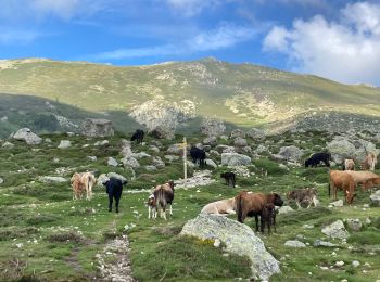
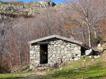
• En passant par la Bergerie Pozzi
Marche
• Très esthétique mais avoir de bons mollets. C'est rude en montée.
Marche
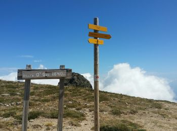
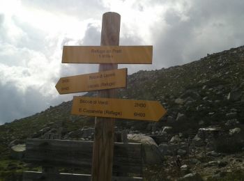
• randonnée du col de verde vers refuge de Prati et la Punta della Capella retour idem
Marche
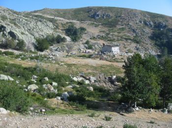
• capannelle prati
Marche
• gr 20 impraticable
Marche
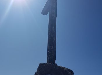
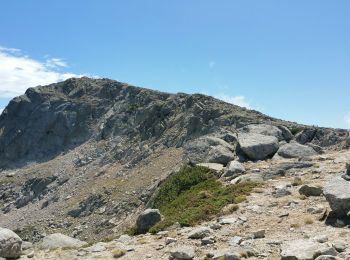
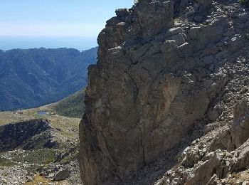
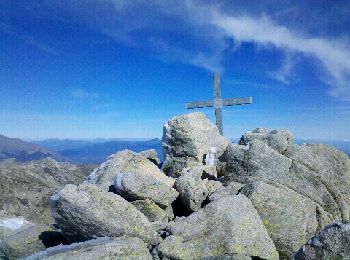
• Avec ses 2041 mètres d'altitude, Punta a a Cappella est le point culminant du chaînon dominant la micro-région du Fiu...
Marche
A pied
Marche
Marche
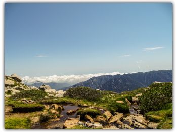
• On monte et descend par le même sentier. Merveilleux lacs et pozzi.
Marche
• Superbe escalier Corse un joli lac et un final au sommet des plus réjouissant.
Marche
Autre activité
Marche
Marche
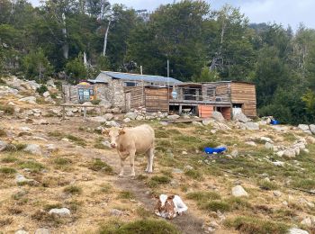
• GR 20® du refuge d'E Capanelle au refuge de Prati - Etape 11 Capanelle est le nom d'une ancienne bergerie servant de ...
Marche
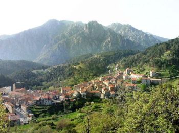
• GR 20® Liaison d'U Cardu à Ghisoni Liaison 08 La commune de Ghisoni est située sur la haute vallée du fleuve Fiumorbo...
Marche
•
V.T.T.
• Raid VTT en Corse – Ghisoni à Corte Journée de transition entre le Sud et le Nord. Beaucoup de route, ce qui permet d...

Marche
• PARTIR VERS LE CIMETIERE PUIS DECSENDRE JUSQU A LA RIVIERE REJOINDRE CAVO ET SES RUINES REVENIR PAR LA ROUTE AU VILLAGE
Marche
20 randonnées affichées sur 82
Application GPS de randonnée GRATUITE
 SityTrail
IGN / Instituts géographiques
SityTrail World
Le monde est à vous