


7,7 km | 8,3 km-effort
Bloemendaal : découvrez les meilleures randonnées : 10 pédestres et 3 à vélo ou VTT. Tous ces circuits, parcours, itinéraires et activités en plein air sont disponibles dans nos applications SityTrail pour smartphones et tablettes.
A pied


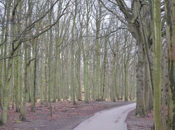
• Ontdek de Amsterdamse Waterleidingduinen. Bijvoorbeeld via een van de vele mooie wandelroutes. Of een leuke excursie ...
A pied
• Oranje route was aanvankelijk (2019) tijdelijke route, maar heeft in 2020 blauwe route vervangen Symbole: orange
A pied
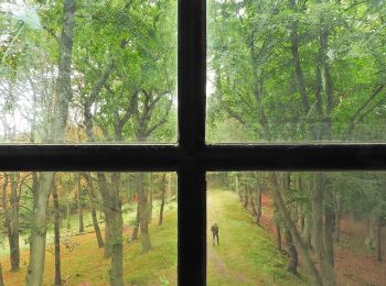
• Ontdek de Amsterdamse Waterleidingduinen. Bijvoorbeeld via een van de vele mooie wandelroutes. Of een leuke excursie ...
A pied
• Symbole: roundtrip
A pied
• Ontdek de Amsterdamse Waterleidingduinen. Bijvoorbeeld via een van de vele mooie wandelroutes. Of een leuke excursie ...
A pied
A pied
A pied
A pied

Marche
• dains

Vélo
• More information on GPStracks.nl : http://www.gpstracks.nl
Vélo
• More information on GPStracks.nl : http://www.gpstracks.nl
Vélo
• More information on GPStracks.nl : http://www.gpstracks.nl
13 randonnées affichées sur 13
Application GPS de randonnée GRATUITE
 SityTrail
IGN / Instituts géographiques
SityTrail World
Le monde est à vous