


11,5 km | 14,5 km-effort
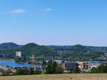
Liège : découvrez les meilleures randonnées : 321 vélo, 245 vélo de route, 1682 v.t.t., 183 v.t.c., 37 cyclotourisme et 524 vélo électrique. Tous ces circuits, parcours, itinéraires et activités en plein air sont disponibles dans nos applications SityTrail pour smartphones et tablettes.

Vélo


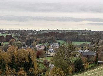
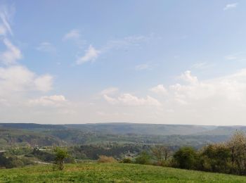
• Le paysage spadois est assez vallonné, les circuits nécessitent donc un peu d’énergie, si vous craignez les côtes, no...
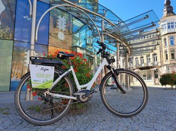
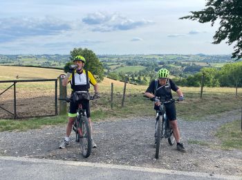
Vélo électrique
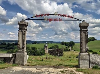
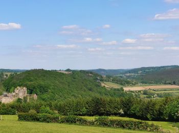
• Partez en vélo depuis le Pouhon Pierre le Grand et découvrez le monument de la cascade monumentale ornée des noms de ...
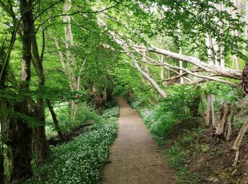
V.T.T.
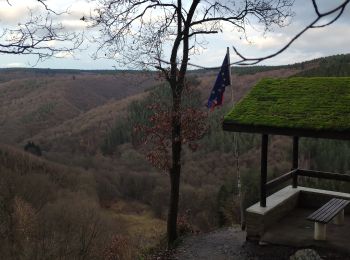
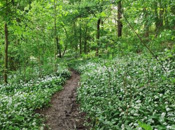
• Très beaux sentiers inédits
Vélo
• Le départ se fait à l’ancienne gare de Sourbrodt pour rejoindre, via la Vennbahn, le point-nœud 44. Entre Sourbrodt e...
V.T.T.
• Départ Stembert/Bois de Halloux/Hevremont/Carrière/Eupen/Trou Mabrouck/Stembert
Vélo électrique
• Attention au Km 15.2, passage de 4 échaliers. Possibilité de contourner par la route.
V.T.T.
• Au Km 7.5, sentier très pentu.
V.T.T.
• Mi routes mi chemins. Portage du vélo pour passer les échaliers 4 fois.

V.T.T.
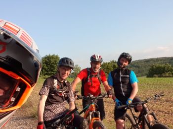
• vtt extra
Vélo
• Au départ de l'ancienne gare de Clavier Station, ce circuit sur route permettra la découverte de villages et hameaux ...

Vélo
• TESTS
V.T.T.
V.T.T.
V.T.T.
Vélo de route
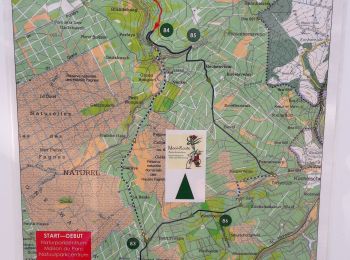
• Circuit vélo au départ de la maison du Parc-Botrange éditée par l'office de tourisme de la Province de Liège Vous dev...
V.T.T.
• Depart RX.
V.T.T.
V.T.T.
Vélo de route
V.T.T.
20 randonnées affichées sur 2941
Application GPS de randonnée GRATUITE
 SityTrail
IGN / Instituts géographiques
SityTrail World
Le monde est à vous