


43 km | 53 km-effort
Florenville : découvrez les meilleures randonnées : 5 vélo, 6 v.t.t., 1 v.t.c. et 2 vélo électrique. Tous ces circuits, parcours, itinéraires et activités en plein air sont disponibles dans nos applications SityTrail pour smartphones et tablettes.

V.T.T.


• Randonnée créée par Gaume. Circuit en boucle de 42,3 km au départ de Florenville – parcours difficile – dénivelé ...

Vélo
• Vélo et à pied

V.T.T.
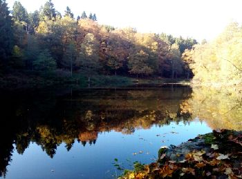
•
V.T.C.
• La boucle de l’Orval est l’occasion de découvrir la charmante Gaume. Ses plateaux en pente douce, appelés cuestas, vo...
V.T.T.
Vélo
• More information on GPStracks.nl : http://www.gpstracks.nl
Vélo
Vélo
Vélo
Vélo électrique
Vélo électrique
V.T.T.
V.T.T.
V.T.T.
14 randonnées affichées sur 14
Application GPS de randonnée GRATUITE
 SityTrail
IGN / Instituts géographiques
SityTrail World
Le monde est à vous