


14,3 km | 19 km-effort
Namur : découvrez les meilleures randonnées : 249 vélo, 180 vélo de route, 1038 v.t.t., 127 v.t.c., 40 cyclotourisme et 93 vélo électrique. Tous ces circuits, parcours, itinéraires et activités en plein air sont disponibles dans nos applications SityTrail pour smartphones et tablettes.
V.T.T.


• Magnifique randonnée au départ du village de Celles, un des 'Plus Beaux Villages de Wallonie”, village qui peut se ta...
Vélo
• Promenade familiale par excellence, accessible aux personnes à mobilité réduite, aux poussettes, ...

V.T.T.
V.T.T.
•
V.T.T.
• "Sentier d'Art en Condroz-Famenne", circuit de grande randonnée, s'étend sur plus de 150 km sur les communes de Asses...
Vélo
• Circuit-découverte en vélo dans la Vallée du Viroin Dépliant disponible à l'Office du Tourisme de Viroinval Rue Viei...
Vélo
• Circuit Ciney Havelange Bienvenue Vélo
Vélo
• A la découverte du RAVeL en partant de Houyet, le paradis des promeneurs et des cyclistes ! Avec quelques beaux panor...
V.T.T.
• Cette boucle VTT au départ d'Assesse serpente à travers champs. Elle passe par Florée et son hameau de Maibelle et pa...
V.T.T.
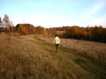
• Chaine en Chêne est une randonnée sportive VTT automnale, plutôt réservée aux amateurs de longues distances, tout en ...
V.T.T.
• Chaine en Chêne est une randonnée sportive VTT automnale, plutôt réservée aux amateurs de longues distances, tout en ...
V.T.T.
• Chaine en Chêne est une randonnée sportive VTT automnale, plutôt réservée aux amateurs de longues distances, tout en ...

Vélo
• Circuit au départ de Revogne, un village à la fois pittoresque et rempli d’histoire, en passant par le village de Lav...
Vélo
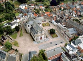
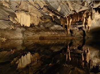
• Circuit pittoresque au départ de Han-sur-Lesse, village mondialement célèbre pour ses magnifiques grottes et partant ...
V.T.T.
• Belle promenade bucolique à travers les paysages aux alentours des villages de Hour et de Wanlin avec de superbes vue...

Vélo
• Partez à la découverte des vignobles de La Bruyère à partir de Namur en vélo
Vélo
V.T.T.
V.T.T.
Vélo
20 randonnées affichées sur 1708
Application GPS de randonnée GRATUITE
 SityTrail
IGN / Instituts géographiques
SityTrail World
Le monde est à vous