


30 km | 37 km-effort
Brabant wallon : découvrez les meilleures randonnées : 103 vélo, 53 vélo de route, 337 v.t.t., 97 v.t.c., 13 cyclotourisme et 114 vélo électrique. Tous ces circuits, parcours, itinéraires et activités en plein air sont disponibles dans nos applications SityTrail pour smartphones et tablettes.

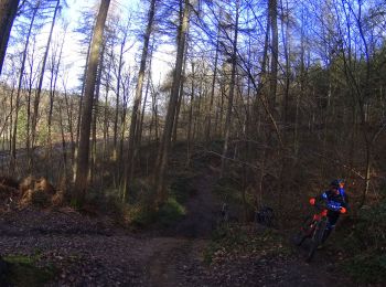
V.T.T.


•
V.T.T.
• Voilà un VTT sur le BW au départ de Maransart pour une randonnée qui va vous conduire pas de beau petit sentier et le...
V.T.T.
• Voilà un VTT dans la région du Brabant Wallon .Une très belle région pour le VTT et la randonnée vous parcoure de trè...
V.T.T.
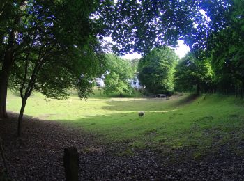
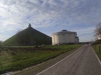
• Voilà un VTT au départ de la butte du lion avec des chemins de la région qui sont de toute beauté .Qui vous emménent ...
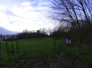
Vélo
• Circuit vélo de 28 km démarrant de Waterloo et passant par La Hulpe, Lasne et Braine-l'Alleud.
Vélo
• Circuit vélo de 28 km démarrant de Waterloo et passant par La Hulpe, Lasne et Braine-l'Alleud.
Vélo
• Circuit vélo de 28 km démarrant de Waterloo et passant par La Hulpe, Lasne et Braine-l'Alleud.
Vélo
• Circuit vélo de 28 km démarrant de Waterloo et passant par La Hulpe, Lasne et Braine-l'Alleud.
Vélo
• Promenade de 14 km à travers le champ de bataille de Waterloo 1815 et la campagne brabançonne.
Vélo
• Promenade de 14 km à travers le champ de bataille de Waterloo 1815 et la campagne brabançonne.
Vélo
• Promenade de 14 km à travers le champ de bataille de Waterloo 1815 et la campagne brabançonne.
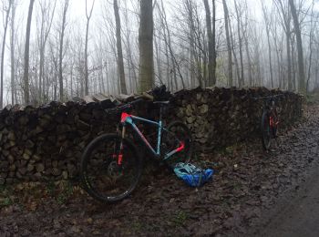
V.T.T.
V.T.T.
•
V.T.T.
•
V.T.T.
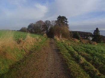
• Voilà une belle randonnée sur la région du BW au départ de Villers-la-ville pour parcourir les beaux chemins de la ré...
V.T.T.
• Voilà une randonnée VTT dans la région du BW avec de très beaux passages et des beaux sentis et de belles ruelles le ...
V.T.T.
• Voilà un VTT au départ de Villers-la-Ville une belle randonnée entre les campagnes de la région et les beaux sentiers...
V.T.T.
• Voilà un VTT au départ de la bute du lion de Waterloo une randonnée avec de beaux passages dans de beaux villages ave...
V.T.T.
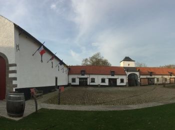
• Voile le VTT de la sartoise une belle randonnée au départ de Sart -Dames -Avelines en boucle très variée sur les bois...
V.T.T.
• Voilà une randonnée VTT au départ de Nivelle qui aux files des senties va vous faire découvrir une belle région . ent...
20 randonnées affichées sur 691
Application GPS de randonnée GRATUITE
 SityTrail
IGN / Instituts géographiques
SityTrail World
Le monde est à vous