
13,9 km | 17,6 km-effort
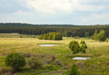
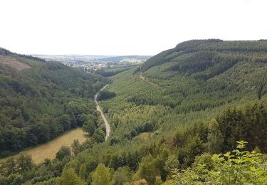
La vallée de la Basseille, ruisseau qui prend sa source en dessous de l'aérodrome, a entièrement été dégagée sur plus de 7 km. Elle offre un paysage exceptionnel sur les milieux naturels tels que, entre autres, landes tourbeuses et sèches, bas-marais et aulnaie rivulaire.


Marche
Cheval
Cheval
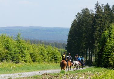
Cheval
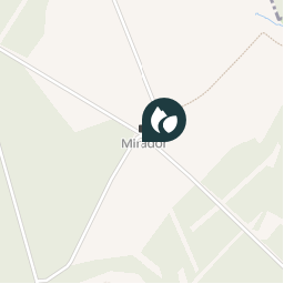
Randonnées de la Grande Forêt de Saint-Hubert GUIDE+