


25 km | 32 km-effort

Utilisateur


Application GPS de randonnée GRATUITE
 SityTrail
IGN / Instituts géographiques
SityTrail World
Le monde est à vous
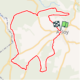
Randonnée Marche de 11,1 km à découvrir à Wallonie, Luxembourg, Libin. Cette randonnée est proposée par GerardBouche.
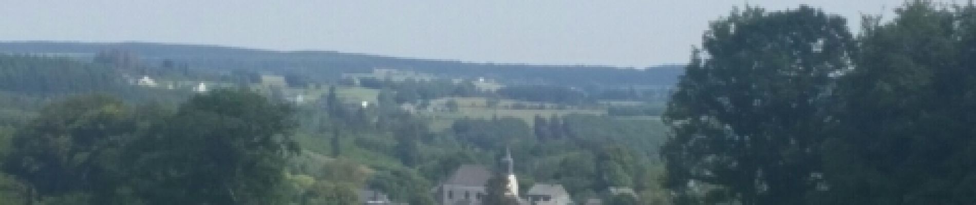
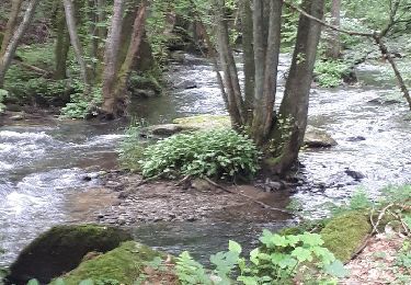
Belle rando par le Bois " Derrière la Hogne" et le Cimetière Militaire d'Anloy-Bruyère (14-18 Français/ Allemands) et retour par le bois Piret.
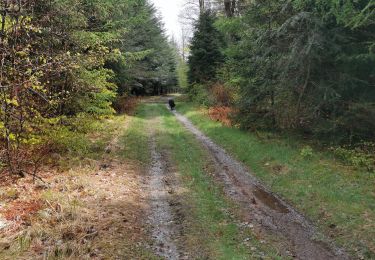
 - Photo 1")
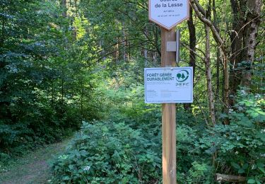
 - Photo 2")
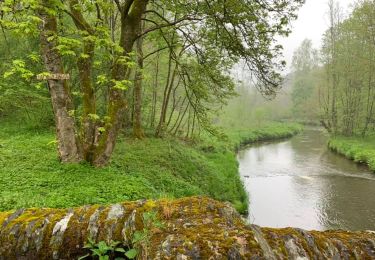
 - Photo 3")
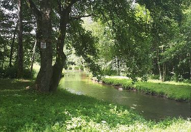
 - Photo 4")
 - Photo 5")
 - Photo 6")
 - Photo 7")
 - Photo 8")
 - Photo 9")

Marche
Marche
Marche

Marche

Marche
Marche
Marche
Marche
Marche