


39 km | 54 km-effort


Utilisateur


Application GPS de randonnée GRATUITE
 SityTrail
IGN / Instituts géographiques
SityTrail World
Le monde est à vous
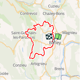
Randonnée Course à pied de 27 km à découvrir à Auvergne-Rhône-Alpes, Ain, Belley. Cette randonnée est proposée par tracegps.
Trail de 26 km, D 500 qui a lieu tous les ans au mois de septembre, parcours très roulant avec 2 rampes bien prononcées droit dans la pente.
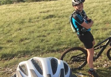
V.T.T.
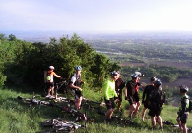
V.T.T.

V.T.T.
V.T.T.
V.T.T.
V.T.T.
V.T.T.
V.T.T.
V.T.T.