Randonnée Marche Burlats - billets l'Agout 18kms 577m 4h30 - Photo

billets l'Agout 18kms 577m 4h30

 guiller
guiller

Utilisateur

© OpenStreetMap contributors
Longueur
Longueur
18,2 km
Altitude max
Altitude max
447 m
Dénivelé positif
Dénivelé positif
521 m
Km-Effort
Km-Effort  
25 km
Altitude min
Altitude min
178 m
Dénivelé négatif
Dénivelé négatif
520 m
Boucle
Boucle
Oui
Date de création :
2019-01-15 14:58:06.935
Dernière modification :
2019-01-15 14:58:06.935

(0 Avis)

Marche
Marche
4h44
Difficulté : Facile

Scannez ce code QR pour ouvrir la randonnée dans l'application SityTrail

Application GPS de randonnée GRATUITE

Logo SityTrail SityTrail

IGN / Instituts géographiques

Télécharger SityTrail sur l'App Store Télécharger SityTrail sur Google Play

Logo SityTrail SityTrail World

Le monde est à vous

Télécharger SityTrail sur l'App Store Télécharger SityTrail sur Google Play Télécharger SityTrail sur Huawei AppGallery

À propos

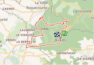
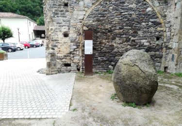
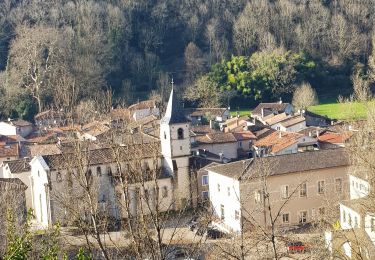
Randonnée Marche de 18,2 km à découvrir à Occitanie, Tarn, Burlats. Cette randonnée est proposée par guiller.

Description

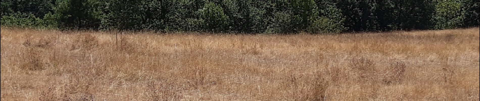
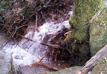
beau parcours ombragé, peut être réalisé par températures élevées, nombreux points d'eau pour les chiens

Profil altimétrique

Photos

Points d'intérêt

Point d'intérêt Burlats - Point 10 - Photo
guiller
BURLATS 

Localisation

Pays :
France
Région :
Occitanie
Département/Province :
Tarn
Commune :
Burlats
Localité :
Unknown
Départ:(Dec)
Départ:(UTM)
445065 ; 4831813 (31T) N.

Randonnées à proximité

Randonnée Marche Lacrouzette - les rochers de sidobre  - Photo
Marche
leroj73

Marche

Très facile
(1)
Lacrouzette, Occitanie, Tarn, France
11,9 km | 15,5 km-effort
3h 31min
Oui
Randonnée Marche Lacrouzette - Sidobre  rocs de crémaussel et Lac du Merle 16 kms - Photo
Marche
cappelle

Marche

Très difficile
(1)
Lacrouzette, Occitanie, Tarn, France
15,6 km | 21 km-effort
4h 39min
Oui
Randonnée A pied Lacrouzette - les rochers du sidobre - Photo
A pied
leroj73

A pied

Très facile
(1)
Lacrouzette, Occitanie, Tarn, France
11,2 km | 15,2 km-effort
Inconnu
Oui
Randonnée V.T.T. Lacrouzette - Lacrouzette VTT 2016 - Photo
V.T.T.
J-Mi

V.T.T.

Facile
(3)
Lacrouzette, Occitanie, Tarn, France
32 km | 41 km-effort
2h 36min
Oui
Randonnée V.T.T. Lacrouzette - Ronde des rochers 2008 - Photo
V.T.T.
tracegps

V.T.T.

Moyen
(1)
Lacrouzette, Occitanie, Tarn, France
30 km | 39 km-effort
2h 15min
Oui
Randonnée A pied Burlats - Chemin des Fontaines - Photo
A pied
PRO

A pied

Facile
Burlats, Occitanie, Tarn, France
7,3 km | 8,5 km-effort
1h 55min
Non
Randonnée Marche Burlats - Burlats cascade de la truite - Photo
Marche
poisson1103

Marche

Moyen
Burlats, Occitanie, Tarn, France
19,3 km | 30 km-effort
5h 22min
Non
Randonnée V.T.T. Castres - 20141119_123639 - Photo
V.T.T.
boraumir

V.T.T.

Facile
(1)
Castres, Occitanie, Tarn, France
16,2 km | 21 km-effort
1h 35min
Oui
Randonnée Marche Noailhac - 81-Prades-Fialessuch -30/03/2014 - Photo
Marche
Jovila

Marche

Facile
Noailhac, Occitanie, Tarn, France
11,4 km | 16,7 km-effort
3h 4min
Oui


Fermer
Mes abonnements