Randonnée Marche Rochefort-du-Gard - Autour des Eynavay et du Sanctuaire  - Photo

Autour des Eynavay et du Sanctuaire

 SabetMick
SabetMick

Utilisateur

© OpenStreetMap contributors
Longueur
Longueur
6,9 km
Altitude max
Altitude max
153 m
Dénivelé positif
Dénivelé positif
131 m
Km-Effort
Km-Effort  
8,7 km
Altitude min
Altitude min
79 m
Dénivelé négatif
Dénivelé négatif
131 m
Boucle
Boucle
Oui
Date de création :
2018-09-16 14:10:39.161
Dernière modification :
2018-09-16 14:10:39.27

(0 Avis)

Marche
Marche
3h04
Difficulté : Moyen

Scannez ce code QR pour ouvrir la randonnée dans l'application SityTrail

Application GPS de randonnée GRATUITE

Logo SityTrail SityTrail

IGN / Instituts géographiques

Télécharger SityTrail sur l'App Store Télécharger SityTrail sur Google Play

Logo SityTrail SityTrail World

Le monde est à vous

Télécharger SityTrail sur l'App Store Télécharger SityTrail sur Google Play Télécharger SityTrail sur Huawei AppGallery

À propos

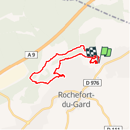
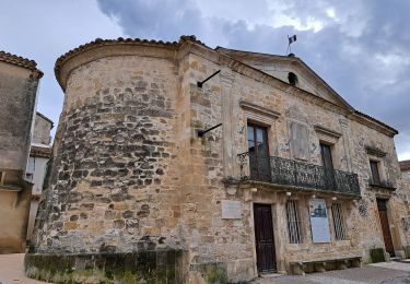
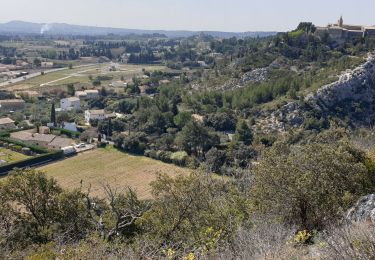
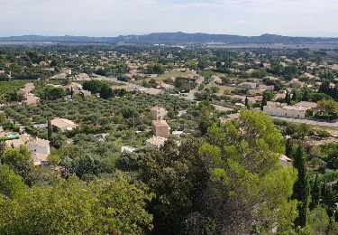
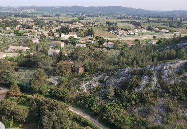
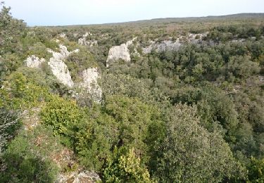
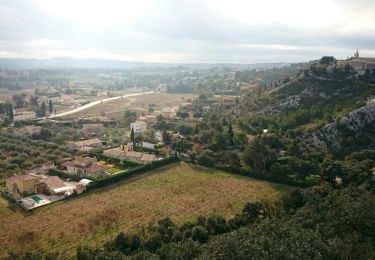
Randonnée Marche de 6,9 km à découvrir à Occitanie, Gard, Rochefort-du-Gard. Cette randonnée est proposée par SabetMick.

Description

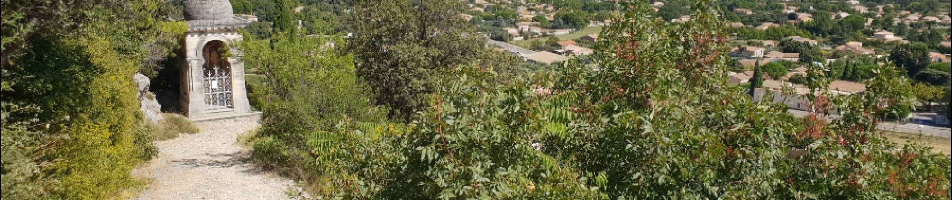
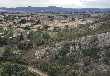
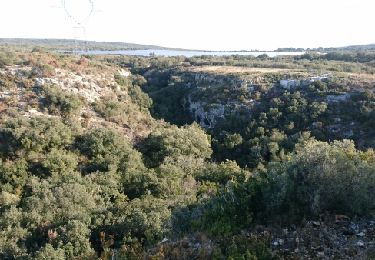
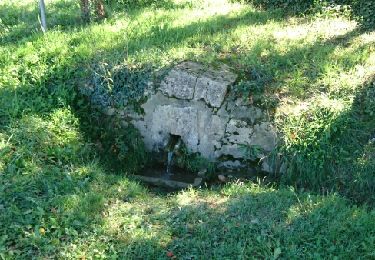
Petite randonnée familliale autour de la faille des Eynavay et du Sanctuaire Notre Dame de Grace. Certains passages nécessitent de mettre les mains, soyez prudent si vous randonnez avec des enfants en bas âge.

Profil altimétrique

Photos

Localisation

Pays :
France
Région :
Occitanie
Département/Province :
Gard
Commune :
Rochefort-du-Gard
Localité :
Unknown
Départ:(Dec)
Départ:(UTM)
636195 ; 4871354 (31T) N.

Randonnées à proximité

Randonnée Marche Rochefort-du-Gard - Ballade familliale autour des Eynavays et des falaises  - Photo
Marche
SabetMick

Marche

Facile
(2)
Rochefort-du-Gard, Occitanie, Gard, France
6,6 km | 8 km-effort
2h 31min
Oui
Randonnée Marche Rochefort-du-Gard - Autour de Rochefort du Gard - Photo
Marche
GUIDE
nadinebondoux

Marche

Moyen
Rochefort-du-Gard, Occitanie, Gard, France
18,2 km | 22 km-effort
4h 52min
Oui
Randonnée Marche Rochefort-du-Gard - Les Eynavay - Photo
Marche
SabetMick

Marche

Facile
Rochefort-du-Gard, Occitanie, Gard, France
5 km | 6,5 km-effort
1h 43min
Oui
Randonnée Marche Rochefort-du-Gard - Tounicotti dans les monotraces de Rochefort  - Photo
Marche
SabetMick

Marche

Moyen
Rochefort-du-Gard, Occitanie, Gard, France
11,7 km | 14,2 km-effort
2h 44min
Oui
Randonnée Course à pied Rochefort-du-Gard - 10 km de Garrigues à courir ou flanner - Photo
Course à pied
SabetMick

Course à pied

Moyen
Rochefort-du-Gard, Occitanie, Gard, France
9,8 km | 12,6 km-effort
1h 40min
Oui
Randonnée V.T.T. Rochefort-du-Gard - La régalade - Photo
V.T.T.
SabetMick

V.T.T.

Moyen
Rochefort-du-Gard, Occitanie, Gard, France
34 km | 40 km-effort
3h 38min
Oui
Randonnée V.T.T. Rochefort-du-Gard - Le trou des Camisards - Photo
V.T.T.
SabetMick

V.T.T.

Moyen
Rochefort-du-Gard, Occitanie, Gard, France
28 km | 34 km-effort
3h 44min
Oui
Randonnée V.T.T. Rochefort-du-Gard - Parcours tres ludique jusqu'à FOURNES - Photo
V.T.T.
SabetMick

V.T.T.

Moyen
Rochefort-du-Gard, Occitanie, Gard, France
30 km | 36 km-effort
2h 45min
Oui
Randonnée V.T.T. Rochefort-du-Gard - Rochefort-du-Gard-Tavel - Photo
V.T.T.
SabetMick

V.T.T.

Facile
Rochefort-du-Gard, Occitanie, Gard, France
26 km | 32 km-effort
3h 3min
Oui


Fermer
Mes abonnements