


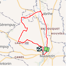

15,1 km | 18,8 km-effort


Utilisateur


Application GPS de randonnée GRATUITE
 SityTrail
IGN / Instituts géographiques
SityTrail World
Le monde est à vous
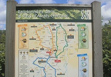
Randonnée V.T.T. de 15,5 km à découvrir à Occitanie, Gers, Mauvezin. Cette randonnée est proposée par tracegps.
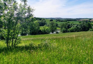
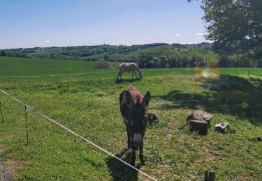
Très beau parcours balisé et très bien entretenu par la Communauté de Communes. Un régal du soir !
A pied
A pied
Course à pied

V.T.T.
A pied

V.T.T.

Marche