


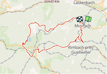

18,1 km | 24 km-effort

Utilisateur


Application GPS de randonnée GRATUITE
 SityTrail
IGN / Instituts géographiques
SityTrail World
Le monde est à vous
Randonnée Marche de 20 km à découvrir à Grand Est, Haut-Rhin, Murbach. Cette randonnée est proposée par tracegps.
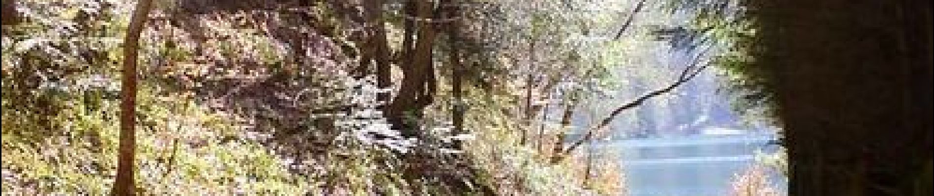
Le Grand Ballon par Murbach. Randonnée en boucle au départ de Murbach. Celle-ci permet de gravir le plus haut sommet des Vosges qui offre une vue magnifique sur les vallées alentour, tout en offrant une halte rafraichissante sur les berges du lac du Ballon. Découvrez la suite sur le site de la Communauté des Crapahuteurs.


Marche

Marche

A pied

Marche

Marche

Marche
Marche

Marche

Tres sympa