


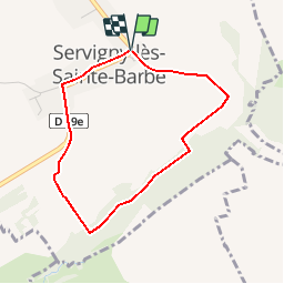

9,3 km | 11,5 km-effort

Utilisateur


Application GPS de randonnée GRATUITE
 SityTrail
IGN / Instituts géographiques
SityTrail World
Le monde est à vous
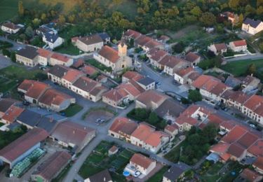
Randonnée Marche de 3,2 km à découvrir à Grand Est, Moselle, Servigny-lès-Sainte-Barbe. Cette randonnée est proposée par tracegps.
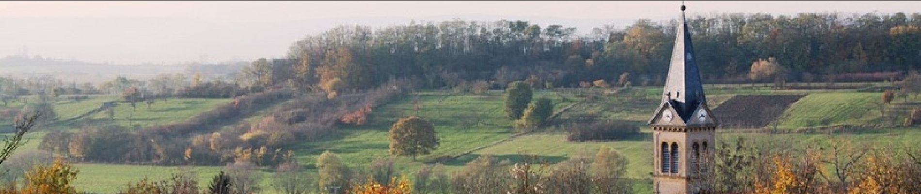
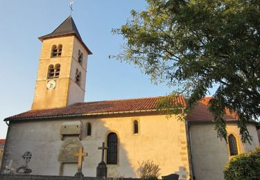
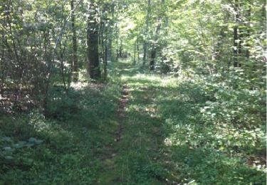
Depuis Servigny-Les-Sainte-Barbe, village rue typiquement lorrain, le circuit se poursuit dans un petit vallon resté sauvage où fontaine et ruisseau confèrent une atmosphère apaisante à la balade. Retrouvez la fiche de cette randonnée sur le site du Tourisme en Moselle.

Marche

Marche

A pied
A pied
Marche

Vélo
Cheval

Cheval
attention très boueux s'il a plu les jours précédents
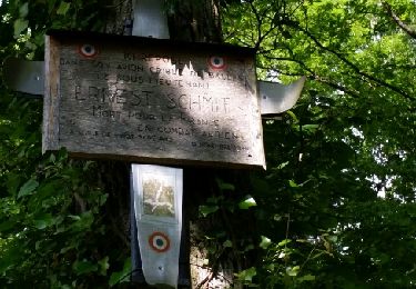
Village bien entretenu, mais promenade sans grand intérêt hormis un peu de fraîcheur en été.