Randonnée Marche Hudimesnil - La Chapelle Sainte Suzanne - Hudimesnil - Photo

La Chapelle Sainte Suzanne - Hudimesnil

 tracegps
tracegps

Utilisateur

© OpenStreetMap contributors
Longueur
Longueur
5,2 km
Altitude max
Altitude max
88 m
Dénivelé positif
Dénivelé positif
72 m
Km-Effort
Km-Effort  
6,2 km
Altitude min
Altitude min
36 m
Dénivelé négatif
Dénivelé négatif
72 m
Boucle
Boucle
Oui
Date de création :
2014-12-10 00:00:00.0
Dernière modification :
2014-12-10 00:00:00.0

(0 Avis)

Marche
Marche
1h04
Difficulté : Moyen

Scannez ce code QR pour ouvrir la randonnée dans l'application SityTrail

Application GPS de randonnée GRATUITE

Logo SityTrail SityTrail

IGN / Instituts géographiques

Télécharger SityTrail sur l'App Store Télécharger SityTrail sur Google Play

Logo SityTrail SityTrail World

Le monde est à vous

Télécharger SityTrail sur l'App Store Télécharger SityTrail sur Google Play Télécharger SityTrail sur Huawei AppGallery

À propos

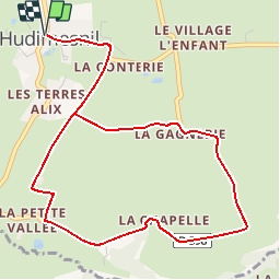
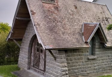
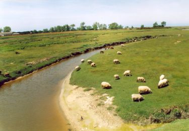
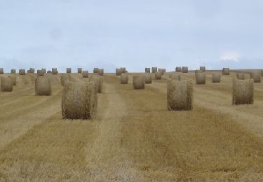
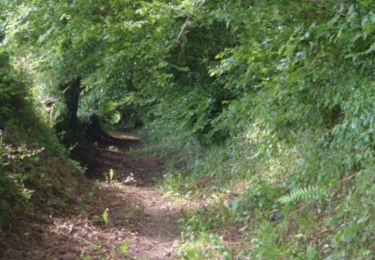
Randonnée Marche de 5,2 km à découvrir à Normandie, Manche, Hudimesnil. Cette randonnée est proposée par tracegps.

Description

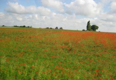
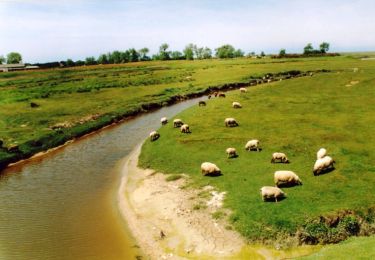
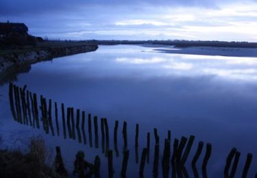
Départ de la place de l'église de Hudimesnil vers la Petite Vallée. Suivre le ruisseau du Bosc et retour par La Gagnerie.

Profil altimétrique

Photos

Localisation

Pays :
France
Région :
Normandie
Département/Province :
Manche
Commune :
Hudimesnil
Localité :
Unknown
Départ:(Dec)
Départ:(UTM)
610545 ; 5413330 (30U) N.

Randonnées à proximité

Randonnée V.T.T. Yquelon - La Maximum VTT - Granville - Photo
V.T.T.
tracegps

V.T.T.

Difficile
(1)
Yquelon, Normandie, Manche, France
51 km | 61 km-effort
3h 19min
Oui
Randonnée V.T.T. Donville-les-Bains - 50-vtt-donville-21km-200m - Photo
V.T.T.
SyMA

V.T.T.

Moyen
Donville-les-Bains, Normandie, Manche, France
21 km | 24 km-effort
1h 39min
Oui
Randonnée V.T.T. Donville-les-Bains - 50-vtt-donville-28km - Photo
V.T.T.
SyMA

V.T.T.

Moyen
Donville-les-Bains, Normandie, Manche, France
28 km | 31 km-effort
2h 7min
Oui
Randonnée Marche Chanteloup - Le chant des Loups - Chanteloup - Photo
Marche
tracegps

Marche

Moyen
Chanteloup, Normandie, Manche, France
9 km | 10,4 km-effort
2h 0min
Oui
Randonnée Marche Hudimesnil - Le Moulin du Pont - Hudimesnil - Photo
Marche
tracegps

Marche

Moyen
(1)
Hudimesnil, Normandie, Manche, France
14,8 km | 17,3 km-effort
3h 30min
Oui
Randonnée Marche Saint-Sauveur-la-Pommeraye - Notre Dame - Saint Sauveur la Pommeraye - Photo
Marche
tracegps

Marche

Moyen
Saint-Sauveur-la-Pommeraye, Normandie, Manche, France
7,9 km | 8,8 km-effort
1h 34min
Oui
Randonnée Marche Le Loreur - La jambe de Loup - Le Loreur - Photo
Marche
tracegps

Marche

Moyen
Le Loreur, Normandie, Manche, France
7 km | 8,3 km-effort
1h 30min
Oui
Randonnée Marche Bréhal - Les Villages - St Martin Le Vieux - Bréhal - Photo
Marche
tracegps

Marche

Moyen
Bréhal, Normandie, Manche, France
6,7 km | 7,3 km-effort
1h 45min
Oui
Randonnée Marche Bréhal - Le Chemin du Bois - Bréhal - Photo
Marche
tracegps

Marche

Moyen
Bréhal, Normandie, Manche, France
5,8 km | 6,6 km-effort
1h 45min
Oui


Fermer
Mes abonnements