


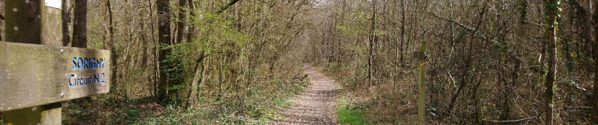
Sorigny - GR655 vers le sud - 10.6km 50m 2h10 - 2018 03 18

Orcal37
Utilisateur GUIDE
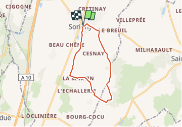

Longueur
10,6 km

Altitude max
114 m

Dénivelé positif
48 m
Km-Effort
11,2 km

Altitude min
92 m

Dénivelé négatif
49 m
Boucle
Oui
Date de création :
2019-05-07 01:57:15.599
Dernière modification :
2021-08-30 10:20:56.81
2h10
Difficulté : Très facile

Application GPS de randonnée GRATUITE
 SityTrail
IGN / Instituts géographiques
SityTrail Plus
Le monde est à vous
À propos
Randonnée Marche de 10,6 km à découvrir à Centre-Val de Loire, Indre-et-Loire, Sorigny. Cette randonnée est proposée par Orcal37.
Description
Sorigny - GR655 vers le sud - 10.6km 50m 2h10 - 2018 03 18
Photos


Localisation
Pays :
France
Région :
Centre-Val de Loire
Département/Province :
Indre-et-Loire
Commune :
Sorigny
Localité :
Unknown
Départ:(Dec)
Départ:(UTM)
325632 ; 5234578 (31T) N.
Commentaires