


15,1 km | 17,8 km-effort
Indre-et-Loire : découvrez les meilleures randonnées : 1 098 pédestres, 371 à vélo ou VTT et 59 parcours équestres. Tous ces circuits, parcours, itinéraires et activités en plein air sont disponibles dans nos applications SityTrail pour smartphones et tablettes.
Marche


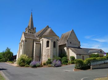
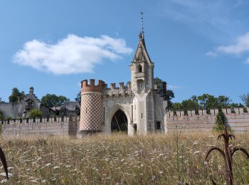
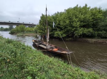
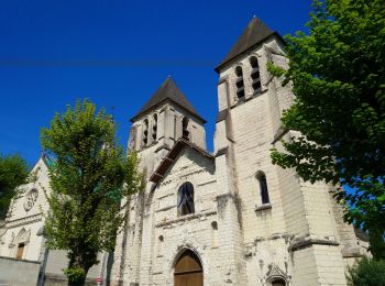
• Saint-Benoît-la-Forêt - GR3 PR sentier découverte - 15.1km 205m 3h50 - 2022 07 14
Marche
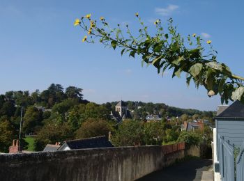
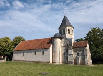
• Tours - Marmoutier GR3 GR655 Rochecorbon - 8.2km 105m 1h50 - 2021 10 09
Marche
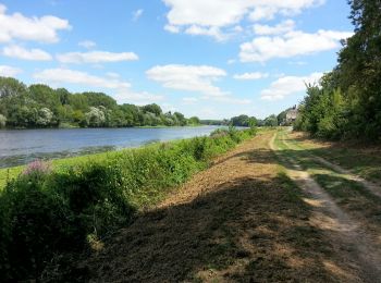
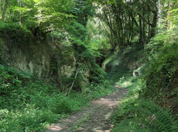
• Rivière - circuit Entre Vienne et vignes - 13km 120m 3h10 (35mn) - 2017 07 14
Marche
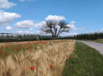
• Villandry - boucle bord du Cher puis GR3 - 4.9km 60m 1h15 - 2015 05 24
Marche
• Montbazon - GR46A et GR655 vers Sorigny - 6.5km 65m 1h40 - 2017 07 23
Marche
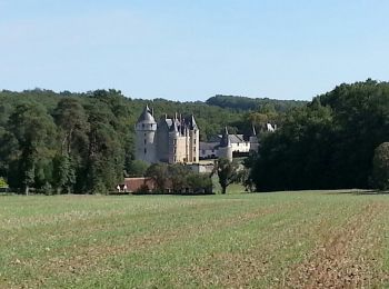
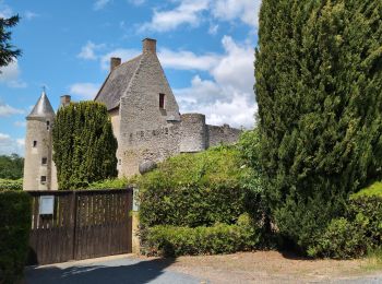
• Epeigné-les-Bois - Sentier de Montpoupon - 11.5km 165m 2h15 - 2016 12 29
Marche
• Départ place de la mairie.

Marche
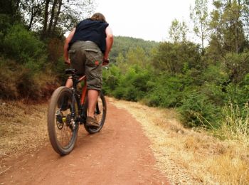
V.T.T.
• Balade proposée par le site ASFVTT
Marche
• l'île-Bouchard - Brizay - Theneuil - Parçay-sur-Vienne - il y a 700m de "grande" route entre Parçay et Mougon avec un...
Marche
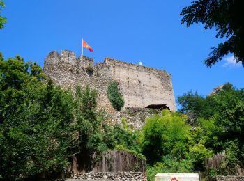
• Antogny-le-Tillac - GR48 - les Ormes - PR - chemins - Séligny - PR chemins petites routes - GR48 - 17.4km 180m 3h50 (...
Marche
• Rivarennes - Zig zag - GR3 - Cheillé - 23.4km 405m 5h05 (50mn) - 2024 06 09
Marche
• Vallères - départ de le Hay - Zig zag Lignières-de-Touraine - 27.2km 300m 6h00 (50mn) - 2024 06 05
Marche
• Savonnières - Zig zag - Villandry - 20.7km 260m 4h25 (40mn) - 2024 06 02
Marche
• Vallères - Zig zag - Manoir de Fontenay - Lignières-de-Touraine - 26.2km 350m 6h00 (35mn) - 2024 05 31
Marche
• Lignières-de-Touraine - Zig zag Château de l'Islette - 25.9km 365m 5h30 (30mn) - 2024 05 26
Marche
• Parilly - Zig zag - Ligré - 24.4km 330m 5h30 (50mn) - 2024 05 24
Marche
• Chinon - Zig zag - Cravant-les-Côteaux - GR48 GR3 - 22.4km 415m 5h05 (1h) - 2024 05 10
Marche
• Saint-Germain-sur-Vienne - Zig zag - GR3 - Fontevraud-l'Abbaye - 20km 350m 4h50 (45mn) - 2024 05 08
Marche
• Reugny - Étang de la Grand Prée - Zig zag - Château de Valmer - 18.5km 315m 4h05 - 2024 05 02
20 randonnées affichées sur 1568
Application GPS de randonnée GRATUITE
 SityTrail
IGN / Instituts géographiques
SityTrail World
Le monde est à vous