


La-Chapelle-St-Blaise - Vallères via GR3 - 18.3km 200m 3h55 - 2018 04 15

Orcal37
Utilisateur GUIDE
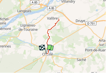

Longueur
18,3 km

Altitude max
99 m

Dénivelé positif
205 m
Km-Effort
21 km

Altitude min
41 m

Dénivelé négatif
205 m
Boucle
Oui
Date de création :
2019-05-07 01:57:15.973
Dernière modification :
2020-09-04 15:28:06.452
3h55
Difficulté : Moyen

Application GPS de randonnée GRATUITE
 SityTrail
IGN / Instituts géographiques
SityTrail Plus
Le monde est à vous
À propos
Randonnée Marche de 18,3 km à découvrir à Centre-Val de Loire, Indre-et-Loire, Cheillé. Cette randonnée est proposée par Orcal37.
Description
La-Chapelle-St-Blaise (Cheillé) - la Vallée du Vau (Vallères) via GR3 (AR) - 18.3km 200m 3h55 - 2018 04 15
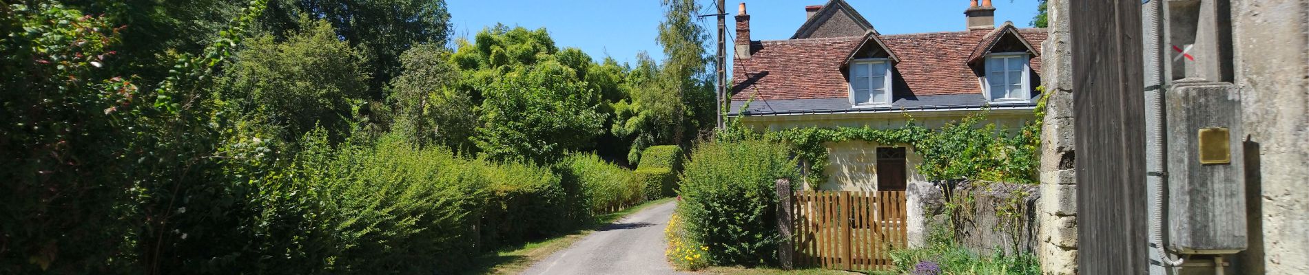
Photos

Localisation
Pays :
France
Région :
Centre-Val de Loire
Département/Province :
Indre-et-Loire
Commune :
Cheillé
Localité :
Unknown
Départ:(Dec)
Départ:(UTM)
307742 ; 5236583 (31T) N.
Commentaires