


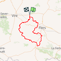

17,8 km | 21 km-effort


Utilisateur


Application GPS de randonnée GRATUITE
 SityTrail
IGN / Instituts géographiques
SityTrail World
Le monde est à vous
Randonnée Moteur de 107 km à découvrir à Normandie, Calvados, Valdallière. Cette randonnée est proposée par davdaso.
107kms sud manche

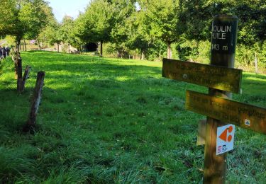
A pied
A pied
Autre activité

Marche
Marche