Randonnée V.T.T. Tincques - Rando_Tincques2012 - Photo
 tantan62
tantan62

Utilisateur

© OpenStreetMap contributors
Longueur
Longueur
71 km
Altitude max
Altitude max
158 m
Dénivelé positif
Dénivelé positif
765 m
Km-Effort
Km-Effort  
81 km
Altitude min
Altitude min
56 m
Dénivelé négatif
Dénivelé négatif
765 m
Boucle
Boucle
Oui
Date de création :
2014-12-10 00:00:00.0
Dernière modification :
2014-12-10 00:00:00.0

(0 Avis)

V.T.T.
V.T.T.
--
Difficulté : Moyen

Scannez ce code QR pour ouvrir la randonnée dans l'application SityTrail

Application GPS de randonnée GRATUITE

Logo SityTrail SityTrail

IGN / Instituts géographiques

Télécharger SityTrail sur l'App Store Télécharger SityTrail sur Google Play

Logo SityTrail SityTrail World

Le monde est à vous

Télécharger SityTrail sur l'App Store Télécharger SityTrail sur Google Play Télécharger SityTrail sur Huawei AppGallery

À propos

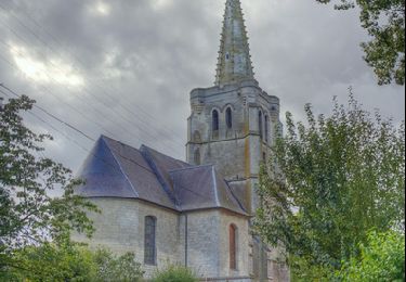
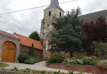
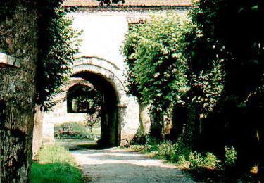
Randonnée V.T.T. de 71 km à découvrir à Hauts-de-France, Pas-de-Calais, Tincques. Cette randonnée est proposée par tantan62.

Description

Quads

Profil altimétrique

Points d'intérêt

Localisation

Pays :
France
Région :
Hauts-de-France
Département/Province :
Pas-de-Calais
Commune :
Tincques
Localité :
Unknown
Départ:(Dec)
Départ:(UTM)
463896 ; 5578562 (31U) N.

Randonnées à proximité

Randonnée Marche Béthonsart - Bethonsart Caucourt Mingoval - Photo
Marche
tracegps

Marche

Moyen
Béthonsart, Hauts-de-France, Pas-de-Calais, France
11,7 km | 13,2 km-effort
2h 30min
Oui
Randonnée Marche Penin - Chemin des piedsentes  (Penin) - Photo
Marche
tracegps

Marche

Difficile
Penin, Hauts-de-France, Pas-de-Calais, France
14,5 km | 15,7 km-effort
3h 40min
Oui
Randonnée Marche Chelers - Chemin des Bosquets (Chelers) - Photo
Marche
tracegps

Marche

Difficile
Chelers, Hauts-de-France, Pas-de-Calais, France
14,7 km | 16,5 km-effort
3h 45min
Oui
Randonnée Marche Frévillers - Frevilliers - Photo
Marche
Barney62

Marche

Facile
Frévillers, Hauts-de-France, Pas-de-Calais, France
18,4 km | 21 km-effort
3h 20min
Oui
Randonnée Marche Averdoingt - Rando1402 - Photo
Marche
Michael Pruvost

Marche

Averdoingt, Hauts-de-France, Pas-de-Calais, France
12,1 km | 13 km-effort
2h 7min
Oui
Randonnée Marche Averdoingt - RANDO 2 - Photo
Marche
Michael Pruvost

Marche

Averdoingt, Hauts-de-France, Pas-de-Calais, France
10,3 km | 11,5 km-effort
1h 58min
Non
Randonnée Quad Averdoingt - randonnée loic - Photo
Quad
Michael Pruvost

Quad

Très facile
Averdoingt, Hauts-de-France, Pas-de-Calais, France
54 km | 59 km-effort
1h 46min
Oui
Randonnée Marche Tincques - Tincques - Guestreville - Magnicourt - Chelers - Photo
Marche
tracegps

Marche

Moyen
Tincques, Hauts-de-France, Pas-de-Calais, France
11,6 km | 12,9 km-effort
2h 0min
Oui


Fermer
Mes abonnements