


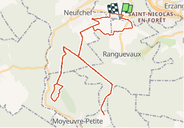

14,4 km | 19 km-effort


Utilisateur


Application GPS de randonnée GRATUITE
 SityTrail
IGN / Instituts géographiques
SityTrail World
Le monde est à vous
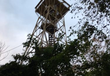
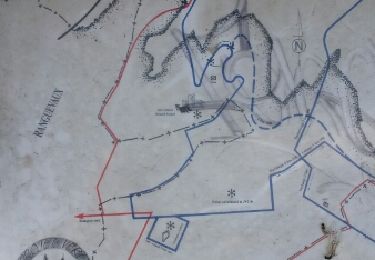
Randonnée V.T.T. de 26 km à découvrir à Grand Est, Moselle, Hayange. Cette randonnée est proposée par sof2clara.
greg57(1)
A pied
A pied
Marche
A pied

A pied
A pied
Autre activité
Autre activité


sport