


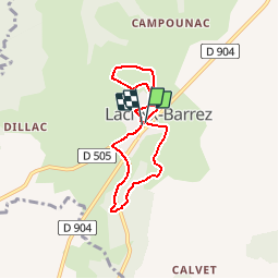

19,2 km | 27 km-effort


Utilisateur


Application GPS de randonnée GRATUITE
 SityTrail
IGN / Instituts géographiques
SityTrail World
Le monde est à vous
Randonnée Marche de 5,9 km à découvrir à Occitanie, Aveyron, Lacroix-Barrez. Cette randonnée est proposée par Elbe.
Les sentiers de l'imaginaire
CARLADEZ - AVEYRON
L’âme du sentier :
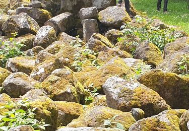
Dans un fracas d'explosions, dans un fleuve de magma en ébullition sont nés les plateaux et vallées de Lacroix-Barrez.
Suivez "Binocle la Taupe" elle va vous donner les clés des mystères des volcans du Cantal et de ses pierres.
Sentier de "La Coulée de lave"
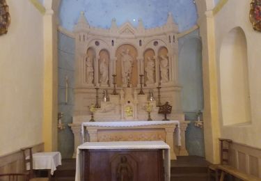
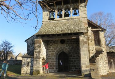
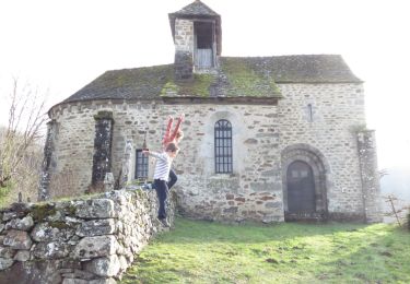
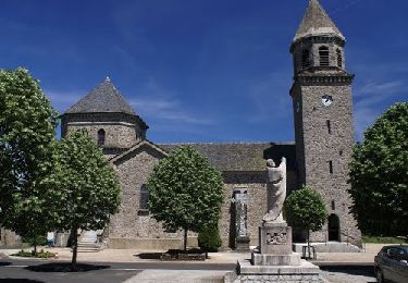
Départ : Place du Cardinal Verdier, près de l'Église.
Balisage : "Binocle" la taupe verte.
Marche
Marche
Vélo
Marche

Marche
Marche
Marche
Marche