Randonnée Marche Illeville-sur-Montfort - rond de beuvron - Photo
 malikd
malikd

Utilisateur

© OpenStreetMap contributors
Longueur
Longueur
8,1 km
Altitude max
Altitude max
145 m
Dénivelé positif
Dénivelé positif
146 m
Km-Effort
Km-Effort  
10 km
Altitude min
Altitude min
45 m
Dénivelé négatif
Dénivelé négatif
145 m
Boucle
Boucle
Oui
Date de création :
2019-04-02 17:30:24.383
Dernière modification :
2019-04-02 17:30:24.49

(2 Avis)

Marche
Marche
2h50
Difficulté : Facile

Scannez ce code QR pour ouvrir la randonnée dans l'application SityTrail

Application GPS de randonnée GRATUITE

Logo SityTrail SityTrail

IGN / Instituts géographiques

Télécharger SityTrail sur l'App Store Télécharger SityTrail sur Google Play

Logo SityTrail SityTrail World

Le monde est à vous

Télécharger SityTrail sur l'App Store Télécharger SityTrail sur Google Play Télécharger SityTrail sur Huawei AppGallery

À propos

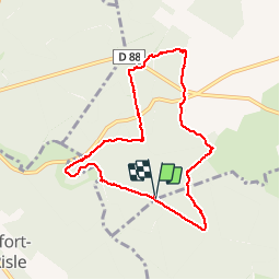
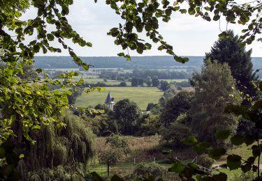
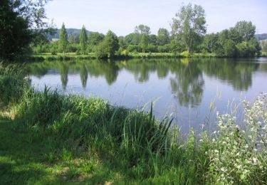
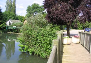
Randonnée Marche de 8,1 km à découvrir à Normandie, Eure, Illeville-sur-Montfort. Cette randonnée est proposée par malikd.

Description

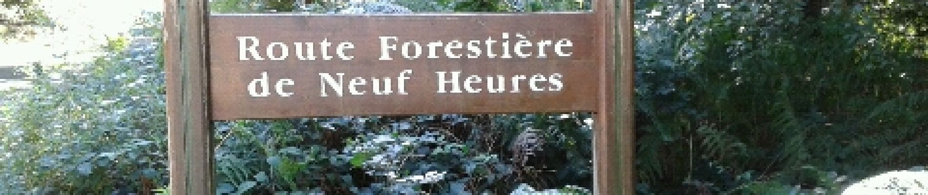
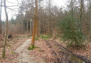
suivre balisage jaune

Profil altimétrique

Photos

Points d'intérêt

Point d'intérêt Illeville-sur-Montfort - repas - Photo
malikd
ILLEVILLE-SUR-MONTFORT 
Point d'intérêt Illeville-sur-Montfort - ptite pause apres la grosse montee. - Photo
malikd
ILLEVILLE-SUR-MONTFORT 

Localisation

Pays :
France
Région :
Normandie
Département/Province :
Eure
Commune :
Illeville-sur-Montfort
Localité :
Unknown
Départ:(Dec)
Départ:(UTM)
332017 ; 5463484 (31U) N.

Commentaires

Veuillez vous connecter pour laisser un commentaire ou une note


excellent


Randonnées à proximité

Randonnée Marche Illeville-sur-Montfort - Illeville-sur-Monfort - Le circuit des Jacinthes - Photo
Marche
MichelRando7656

Marche

Difficile
(1)
Illeville-sur-Montfort, Normandie, Eure, France
12,3 km | 14,5 km-effort
3h 8min
Oui
Randonnée Marche Appeville-Annebault - Appeville Annebault - Photo
Marche
Roulland

Marche

Moyen
(1)
Appeville-Annebault, Normandie, Eure, France
26 km | 33 km-effort
4h 42min
Oui
Randonnée Marche Montfort-sur-Risle - Montfort-sur-Risle  - Photo
Marche
MichelRando7656

Marche

Difficile
Montfort-sur-Risle, Normandie, Eure, France
21 km | 26 km-effort
7h 21min
Oui
Randonnée Marche Appeville-Annebault - appeville - Photo
Marche
MichelRando7656

Marche

Moyen
Appeville-Annebault, Normandie, Eure, France
23 km | 29 km-effort
5h 6min
Oui
Randonnée Marche Illeville-sur-Montfort - chemin des Séquoias - Photo
Marche
dominiquelouis

Marche

Moyen
Illeville-sur-Montfort, Normandie, Eure, France
7,8 km | 9,7 km-effort
2h 56min
Oui
Randonnée Marche Saint-Philbert-sur-Risle -        Chemin du Rossignol                     - Photo
Marche
7217Lionel

Marche

Moyen
Saint-Philbert-sur-Risle, Normandie, Eure, France
10,2 km | 13,7 km-effort
2h 30min
Oui
Randonnée V.T.T. Saint-Philbert-sur-Risle - Autour de Saint-Philbert-sur-Risle - Photo
V.T.T.
tracegps

V.T.T.

Moyen
Saint-Philbert-sur-Risle, Normandie, Eure, France
38 km | 45 km-effort
3h 0min
Oui
Randonnée Marche Saint-Philbert-sur-Risle - Autour de Saint-Philbert-sur-Risle - Photo
Marche
tracegps

Marche

Difficile
Saint-Philbert-sur-Risle, Normandie, Eure, France
38 km | 45 km-effort
8h 0min
Oui
Randonnée Marche Montfort-sur-Risle - Chemin du Rond de Beuvron - Montfort sur Risle - Photo
Marche
tracegps

Marche

Moyen
Montfort-sur-Risle, Normandie, Eure, France
11,7 km | 14,9 km-effort
3h 0min
Oui


Fermer
Mes abonnements