


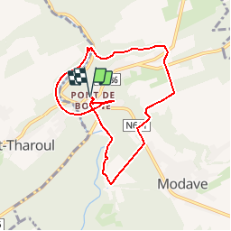


17,1 km | 21 km-effort

Utilisateur


Application GPS de randonnée GRATUITE
 SityTrail
IGN / Instituts géographiques
SityTrail World
Le monde est à vous
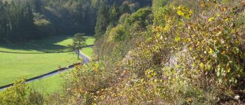
Randonnée Marche de 7,2 km à découvrir à Wallonie, Liège, Modave. Cette randonnée est proposée par tourcondroz.
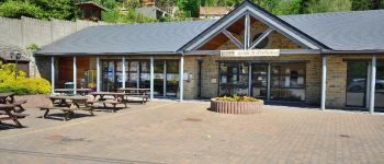
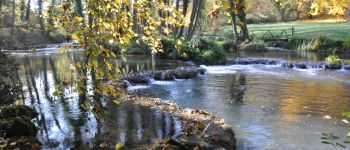
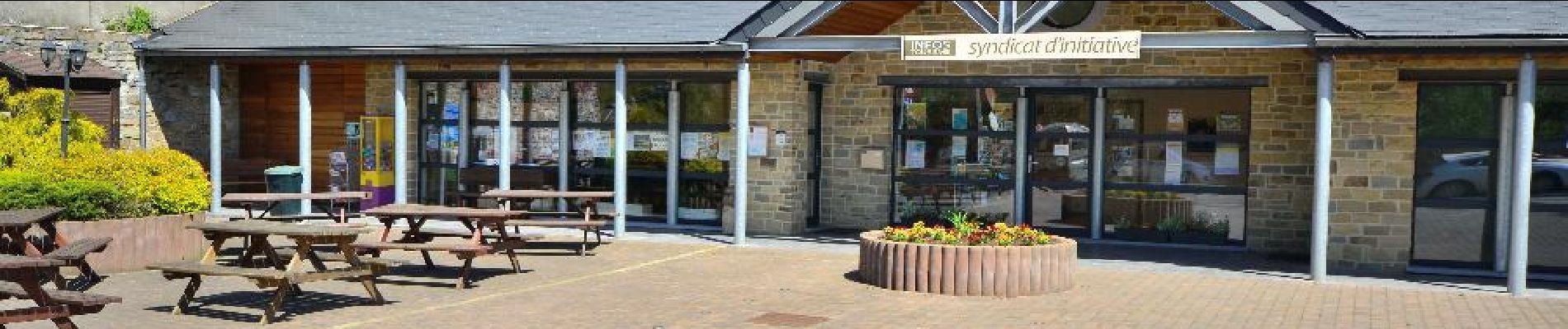
Au départ du Syndicat d'initiative, au Pont de Bonne, cette promenade vous permettra de découvrir le hameau du Pont de Bonne et ses environs.
BALISE: rectangle bleu
Sources: SIVH
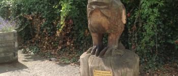
Crédits photos: J. Borghoms – S. Pêcheur – JM. Maréchal - SIVH


Marche

Marche

Marche

Marche

Marche

Marche

Marche

Marche
Marche
Eerste deel van de wandeling valt wat tegen. Het kasteel is mooi en het laatste deel van de wandeling ook wel. Verder delen langs wegen met auto's, minder leuk.
Départ à 1530 hr. Arrivée à 1715 hr. Belle balade variée
Sans difficulté, cette balade est très bien
Appli qui m?rite un 4 sur 5.super facile, agr?able, int?ressant. ... Que du bonheur