


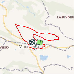


6,9 km | 8,9 km-effort


Utilisateur


Application GPS de randonnée GRATUITE
 SityTrail
IGN / Instituts géographiques
SityTrail World
Le monde est à vous
Randonnée Marche de 6,8 km à découvrir à Auvergne-Rhône-Alpes, Isère, Montcarra. Cette randonnée est proposée par frdy69.
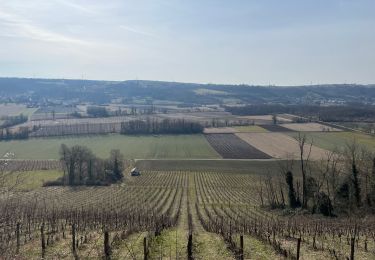
Balade permettant d'avoir une jolie vue a 360° sur les massifs de la région par temps clair.
Marche
Marche

Marche

Quad
Marche
Marche
Marche
Marche