


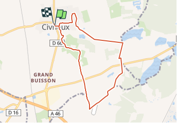

7,3 km | 7,9 km-effort


Utilisateur


Application GPS de randonnée GRATUITE
 SityTrail
IGN / Instituts géographiques
SityTrail World
Le monde est à vous
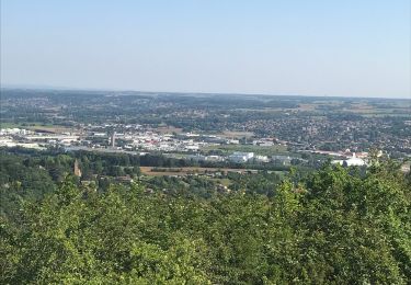
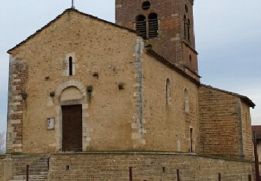
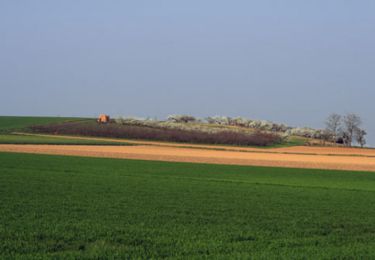
Randonnée V.T.T. de 7,8 km à découvrir à Auvergne-Rhône-Alpes, Ain, Civrieux. Cette randonnée est proposée par rocho.
Circuit VTT de la Communauté de Communes Saône-Vallée n°13
A pied

Marche
Marche
Marche
Marche
Marche
Marche
Marche
Marche