


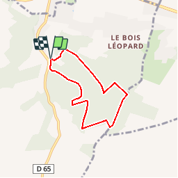

9,9 km | 12,6 km-effort


Utilisateur


Application GPS de randonnée GRATUITE
 SityTrail
IGN / Instituts géographiques
SityTrail World
Le monde est à vous
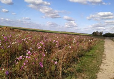
Randonnée Marche de 5,4 km à découvrir à Normandie, Eure, Saint-Aubin-sur-Gaillon. Cette randonnée est proposée par douneto.
Rando Mai 2013
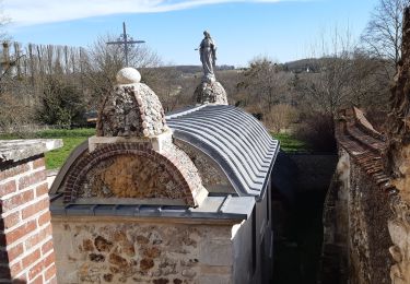
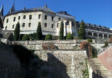
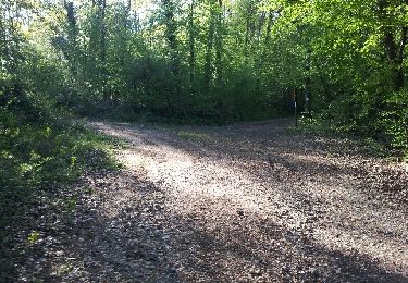
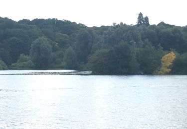
Forêt bien entretenue et agréable.
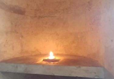
Balisage Bleu
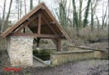
Accès Parking des Marnières sortie Jeufosse au pied de la côte des Rotoirs
Marche
Marche
Marche
Marche
Autre activité
Marche

Marche
Marche
Marche