Randonnée Randonnée équestre Lobsann - Lobsann et alentours - Photo

Lobsann et alentours

 anniston
anniston

Utilisateur

© OpenStreetMap contributors
Longueur
Longueur
22 km
Altitude max
Altitude max
353 m
Dénivelé positif
Dénivelé positif
424 m
Km-Effort
Km-Effort  
27 km
Altitude min
Altitude min
156 m
Dénivelé négatif
Dénivelé négatif
423 m
Boucle
Boucle
Oui
Date de création :
2018-08-30 21:40:30.1
Dernière modification :
2018-11-09 00:07:41.893

(0 Avis)

Randonnée équestre
Randonnée équestre
3h20
Difficulté : Facile
Attelage
Attelage
3h20
Difficulté : Facile

Scannez ce code QR pour ouvrir la randonnée dans l'application SityTrail

Application GPS de randonnée GRATUITE

Logo SityTrail SityTrail

IGN / Instituts géographiques

Télécharger SityTrail sur l'App Store Télécharger SityTrail sur Google Play

Logo SityTrail SityTrail World

Le monde est à vous

Télécharger SityTrail sur l'App Store Télécharger SityTrail sur Google Play Télécharger SityTrail sur Huawei AppGallery

À propos

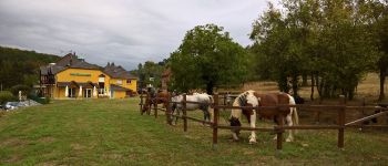
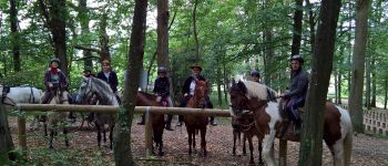
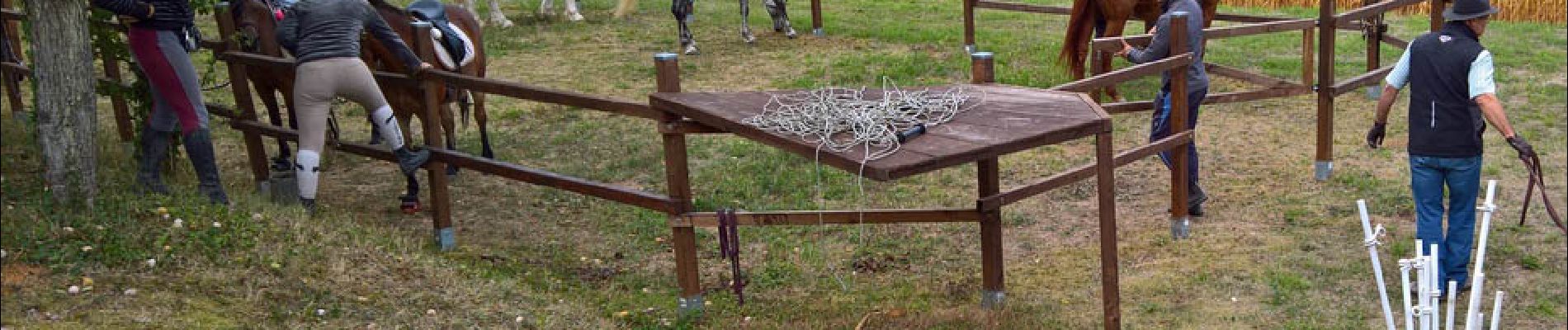
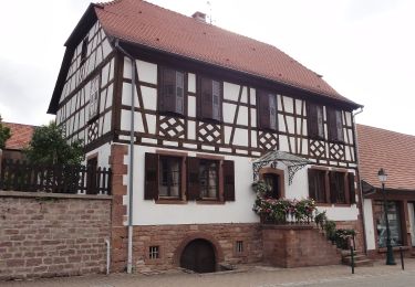
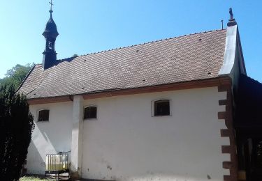
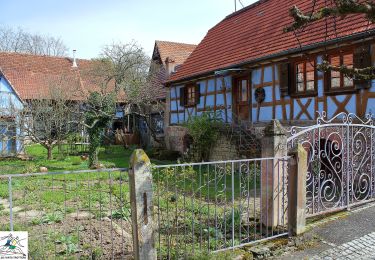
Randonnée Randonnée équestre de 22 km à découvrir à Grand Est, Bas-Rhin, Lobsann. Cette randonnée est proposée par anniston.

Description

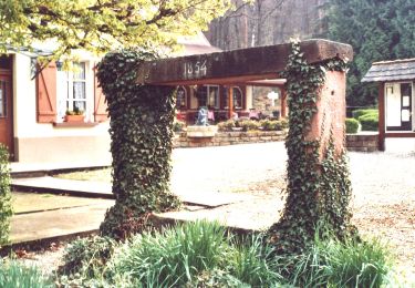
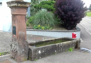
Balade accessible aux attelages (écartement 1,25m max en raison de la présence d'une chicane). Départ du parking du cimetierre de Lobsann. Pause de midi au restaurant le Palais Gourmand à Goersdorf ou pique-nique à la halte équestre de notre dame du chêne. Pas mal de macadam (tracé pour attelages) mais découverte de charmants villages.

Profil altimétrique

Photos

Points d'intérêt

Point d'intérêt Gœrsdorf - Chicane - Photo
anniston
GŒRSDORF 

Localisation

Pays :
France
Région :
Grand Est
Département/Province :
Bas-Rhin
Commune :
Lobsann
Localité :
Unknown
Départ:(UTM)
415879 ; 5423783 (32U) N.

Randonnées à proximité

Randonnée V.T.T. Cleebourg - Petite sortie VTT sympa secteur Wissembourg - Photo
V.T.T.
tracegps

V.T.T.

Moyen
(1)
Cleebourg, Grand Est, Bas-Rhin, France
23 km | 32 km-effort
2h 30min
Oui
Randonnée A pied Lembach - Anneau vert - Photo
A pied
PRO

A pied

Facile
Lembach, Grand Est, Bas-Rhin, France
3,8 km | 5,2 km-effort
1h 10min
Oui
Randonnée A pied Climbach - Triangle vert - Photo
A pied
PRO

A pied

Facile
Climbach, Grand Est, Bas-Rhin, France
10,3 km | 15 km-effort
3h 24min
Non
Randonnée A pied Cleebourg - Disque jaune - Photo
A pied
PRO

A pied

Moyen
Cleebourg, Grand Est, Bas-Rhin, France
20 km | 27 km-effort
6h 13min
Non
Randonnée A pied Merkwiller-Pechelbronn - Croix bleue - Photo
A pied
PRO

A pied

Facile
Merkwiller-Pechelbronn, Grand Est, Bas-Rhin, France
9 km | 11,9 km-effort
2h 42min
Non
Randonnée A pied Soultz-sous-Forêts - Triangle bleu - Photo
A pied
PRO

A pied

Facile
Soultz-sous-Forêts, Grand Est, Bas-Rhin, France
6,1 km | 7,2 km-effort
1h 38min
Non
Randonnée A pied Lembach - Rectangle bleu barré de blanc - Photo
A pied
PRO

A pied

Facile
Lembach, Grand Est, Bas-Rhin, France
4 km | 6 km-effort
1h 21min
Non
Randonnée A pied Soultz-sous-Forêts - Anneau jaune - Photo
A pied
PRO

A pied

Facile
Soultz-sous-Forêts, Grand Est, Bas-Rhin, France
5,4 km | 7,8 km-effort
1h 45min
Oui
Randonnée A pied Lembach - Rectangle jaune barré de blanc - Photo
A pied
PRO

A pied

Facile
Lembach, Grand Est, Bas-Rhin, France
11,8 km | 18,6 km-effort
4h 14min
Non


Fermer
Mes abonnements