


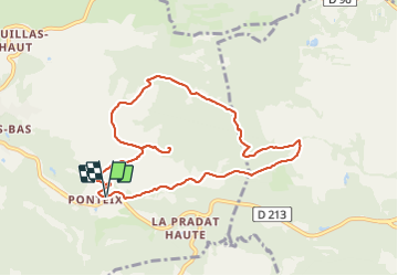

11,1 km | 14,2 km-effort

Utilisateur GUIDE


Application GPS de randonnée GRATUITE
 SityTrail
IGN / Instituts géographiques
SityTrail World
Le monde est à vous
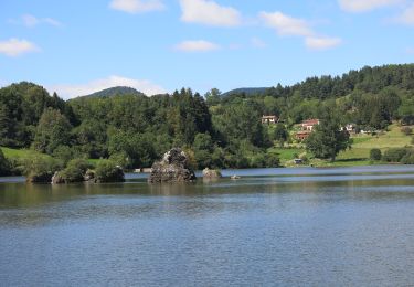
Randonnée Marche de 9 km à découvrir à Auvergne-Rhône-Alpes, Puy-de-Dôme, Aydat. Cette randonnée est proposée par jagarnier.
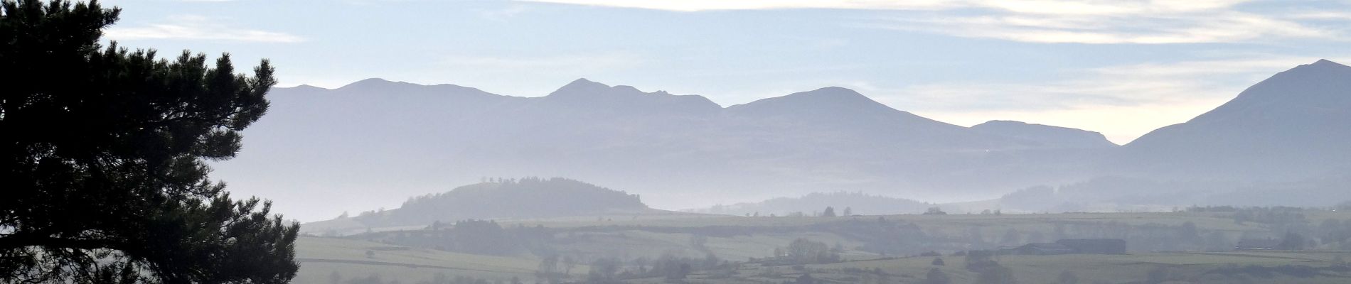
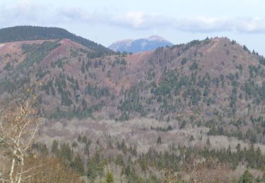
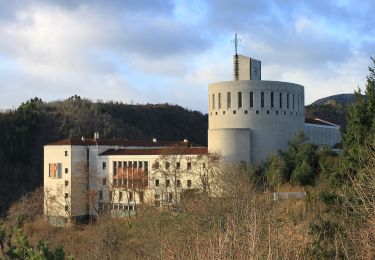
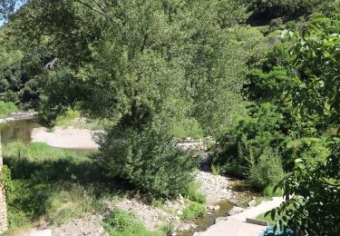
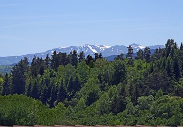
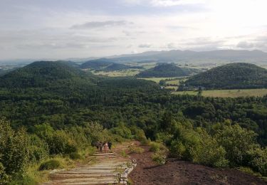
Après le petit vallon du ruisseau de Biona, le sentier grimpe au nord de la butte volcanique du mont Redon. L'aller-retour au sommet est recommandé pour les panoramas sur les massifs voisins et les vestiges d'une place forte détruite en 1587.


Marche
Marche
A pied
A pied
A pied
A pied
A pied
A pied
Marche