


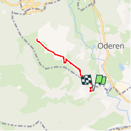

9,6 km | 16,5 km-effort


Utilisateur


Application GPS de randonnée GRATUITE
 SityTrail
IGN / Instituts géographiques
SityTrail World
Le monde est à vous
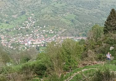
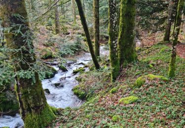
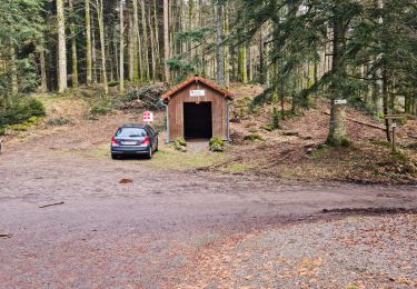
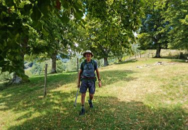
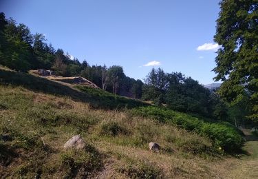
Randonnée Marche de 5,3 km à découvrir à Grand Est, Haut-Rhin, Fellering. Cette randonnée est proposée par Javier.Cattenoz.
rando AR jusqu'au sommet

Marche
Marche
Marche

Marche
Marche
Marche
Marche
Marche
Marche