Randonnée Marche Saint-Romain - Saint-Romain - Photo
 dorcier
dorcier

Utilisateur

© OpenStreetMap contributors
Longueur
Longueur
11,3 km
Altitude max
Altitude max
135 m
Dénivelé positif
Dénivelé positif
173 m
Km-Effort
Km-Effort  
13,6 km
Altitude min
Altitude min
61 m
Dénivelé négatif
Dénivelé négatif
173 m
Boucle
Boucle
Oui
Date de création :
2019-02-28 14:00:48.0
Dernière modification :
2019-02-28 16:56:15.975

(0 Avis)

Marche
Marche
2h35
Difficulté : Moyen

Scannez ce code QR pour ouvrir la randonnée dans l'application SityTrail

Application GPS de randonnée GRATUITE

Logo SityTrail SityTrail

IGN / Instituts géographiques

Télécharger SityTrail sur l'App Store Télécharger SityTrail sur Google Play

Logo SityTrail SityTrail World

Le monde est à vous

Télécharger SityTrail sur l'App Store Télécharger SityTrail sur Google Play Télécharger SityTrail sur Huawei AppGallery

À propos

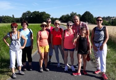
Randonnée Marche de 11,3 km à découvrir à Nouvelle-Aquitaine, Charente, Saint-Romain. Cette randonnée est proposée par dorcier.

Description

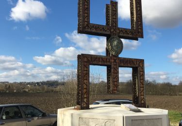
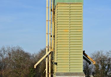
Promenade entre Saint-Romain, Bonnes, Les Essards.
Circuit goudronné en fin de parcours

Profil altimétrique

Localisation

Pays :
France
Région :
Nouvelle-Aquitaine
Département/Province :
Charente
Commune :
Saint-Romain
Localité :
Unknown
Départ:(Dec)
Départ:(UTM)
276230 ; 5017675 (31T) N.

Randonnées à proximité

Randonnée A pied Les Essards - Les Essards Yellow Route - Photo
A pied
PRO

A pied

Facile
Les Essards, Nouvelle-Aquitaine, Charente, France
7,7 km | 9,7 km-effort
2h 11min
Oui
Randonnée Marche Laprade - Laprade - Photo
Marche
dorcier

Marche

Facile
Laprade, Nouvelle-Aquitaine, Charente, France
11,3 km | 13,1 km-effort
2h 51min
Oui
Randonnée Marche Bellon - Circuit des fontaines - Bellon - Photo
Marche
tracegps

Marche

Moyen
Bellon, Nouvelle-Aquitaine, Charente, France
9,3 km | 11,1 km-effort
2h 19min
Oui
Randonnée A pied Rouffiac - Circuit des trois Églises - Photo
A pied
PRO

A pied

Facile
Rouffiac, Nouvelle-Aquitaine, Charente, France
11,7 km | 15,9 km-effort
3h 36min
Oui
Randonnée A pied Les Essards - Les Essards Blue Route - Photo
A pied
PRO

A pied

Facile
Les Essards, Nouvelle-Aquitaine, Charente, France
9 km | 11,5 km-effort
2h 37min
Oui
Randonnée A pied Les Essards - Les Essards Red Route - Photo
A pied
PRO

A pied

Facile
Les Essards, Nouvelle-Aquitaine, Charente, France
6,1 km | 7,7 km-effort
1h 45min
Non
Randonnée Marche Saint-Romain - saint-romain 16 03 sept 2019 - Photo
Marche
bert16

Marche

Moyen
Saint-Romain, Nouvelle-Aquitaine, Charente, France
7,8 km | 9,5 km-effort
1h 57min
Oui
Randonnée Marche Aubeterre-sur-Dronne - Aubeterre-Poltrot 28 juin 2018 - Photo
Marche
bert16

Marche

Facile
(1)
Aubeterre-sur-Dronne, Nouvelle-Aquitaine, Charente, France
11,2 km | 13,9 km-effort
3h 0min
Oui
Randonnée Marche Aubeterre-sur-Dronne - dom - Photo
Marche
bert16

Marche

Facile
Aubeterre-sur-Dronne, Nouvelle-Aquitaine, Charente, France
27 km | 33 km-effort
3h 14min
Non


Fermer
Mes abonnements