


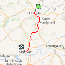

29 km | 38 km-effort
![Randonnée Marche Lauzerte - [20] Compostelle : de Lauzerte à Moissac - Photo](https://media.geolcdn.com/t/1900/400/ext.pjpeg?maxdim=2&url=https%3A%2F%2Fstatic1.geolcdn.com%2Fsiteimages%2Fupload%2Ffiles%2F1553511878bg_sport_marche.png)

Utilisateur


Application GPS de randonnée GRATUITE
 SityTrail
IGN / Instituts géographiques
SityTrail World
Le monde est à vous
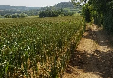
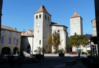
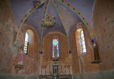
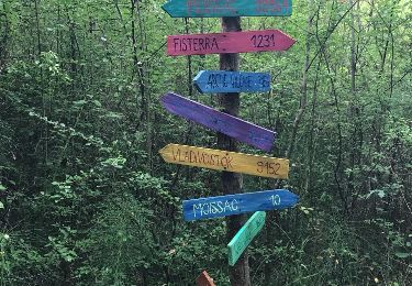
Randonnée Marche de 29 km à découvrir à Occitanie, Tarn-et-Garonne, Lauzerte. Cette randonnée est proposée par phimar_2612.
Marche
Marche

Marche
Marche
Marche
Marche
Marche
Marche
Vélo