


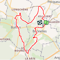

14,1 km | 16,4 km-effort

Utilisateur


Application GPS de randonnée GRATUITE
 SityTrail
IGN / Instituts géographiques
SityTrail World
Le monde est à vous
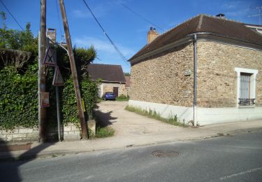
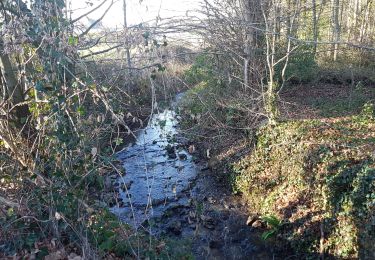
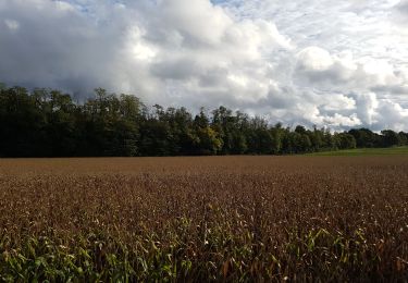
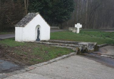
Randonnée Marche de 19,1 km à découvrir à Île-de-France, Yvelines, Bonnelles. Cette randonnée est proposée par c.chehere.
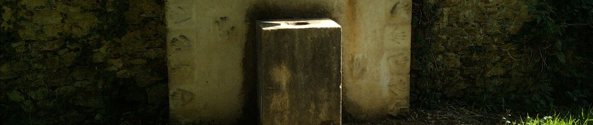
Bien, mais les quatre derniers km ne sont pas terrible. Plusieurs dizaines de M3 de gravats sur le chemin et après des grandes herbes qui rende la marche assez pénible. Le GR655 n'est pas non plus un exemple de convivialité


Marche

Marche
Marche
Marche
Marche
Marche
Marche
Marche
Marche