


16 km | 29 km-effort


Utilisateur


Application GPS de randonnée GRATUITE
 SityTrail
IGN / Instituts géographiques
SityTrail World
Le monde est à vous
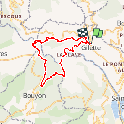
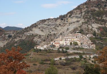
Randonnée Marche de 16,9 km à découvrir à Provence-Alpes-Côte d'Azur, Alpes-Maritimes, Gilette. Cette randonnée est proposée par ETMU5496.
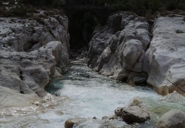
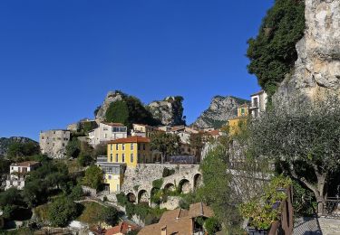
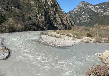
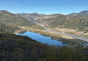
Belle randonnée ombragée au départ de Gilette, passage au pont de cerise (superbe panorama au dessus des gorges de l'Esteron), et montée au Bouyon. Puis redescente vers l’Esteron et remontée vers Gilette.
A pied
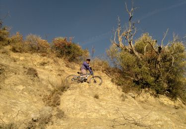
A pied
A pied
A pied

Marche
Marche
Marche
Marche
Marche