7,7 km | 17,1 km-effort
Brian on 12 km
anna123
Utilisateur
Longueur
11,7 km
Boucle
Oui
Date de création :
2019-07-19 08:33:27.335
Dernière modification :
2019-07-19 14:44:41.436
4h56
Difficulté : Difficile
Application GPS de randonnée GRATUITE
À propos
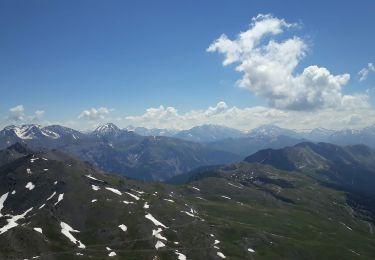
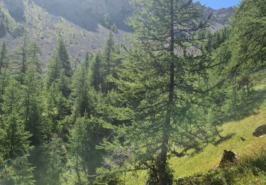
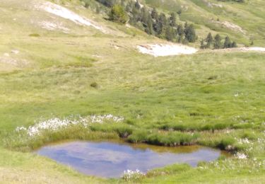
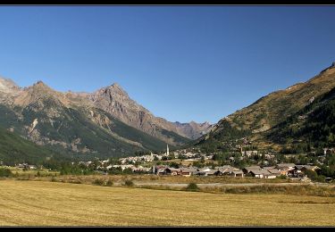
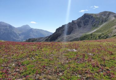
Randonnée Marche de 11,7 km à découvrir à Provence-Alpes-Côte d'Azur, Hautes-Alpes, La Salle-les-Alpes. Cette randonnée est proposée par anna123.
Description
Bergen col gradiole, col granon
Localisation
Pays :
France
Région :
Provence-Alpes-Côte d'Azur
Département/Province :
Hautes-Alpes
Commune :
La Salle-les-Alpes
Localité :
Unknown
Départ:(Dec)
Départ:(UTM)
309538 ; 4982245 (32T) N.
Commentaires
Randonnées à proximité
le grand Aréa (boucle)
Marche
Moyen
La Salle-les-Alpes,
Provence-Alpes-Côte d'Azur,
Hautes-Alpes,
France
4h 49min
Oui
Boucle grand AREA
Marche
Difficile
La Salle-les-Alpes,
Provence-Alpes-Côte d'Azur,
Hautes-Alpes,
France
9,4 km | 18,5 km-effort
3h 41min
Oui
granons tronchet
V.T.T.
Difficile
(1)
Saint-Chaffrey,
Provence-Alpes-Côte d'Azur,
Hautes-Alpes,
France
15,5 km | 24 km-effort
1h 52min
Non
tour de la cucumelle
Marche
Moyen
Le Monêtier-les-Bains,
Provence-Alpes-Côte d'Azur,
Hautes-Alpes,
France
21 km | 38 km-effort
5h 5min
Oui
Les Boussardes
Marche
Facile
Le Monêtier-les-Bains,
Provence-Alpes-Côte d'Azur,
Hautes-Alpes,
France
15,7 km | 19,2 km-effort
5h 1min
Non
col du granon-croix de la cime
Marche
Moyen
Saint-Chaffrey,
Provence-Alpes-Côte d'Azur,
Hautes-Alpes,
France
6,5 km | 10,7 km-effort
1h 59min
Oui
Grand Aréa
Marche
Difficile
Le Monêtier-les-Bains,
Provence-Alpes-Côte d'Azur,
Hautes-Alpes,
France
25 km | 46 km-effort
8h 1min
Oui
les crêtes de Peyrolles
Marche
Facile
Saint-Chaffrey,
Provence-Alpes-Côte d'Azur,
Hautes-Alpes,
France
13 km | 21 km-effort
5h 20min
Oui
RA 2019 Tour du Mont Thabor J2
Marche
Moyen
Névache,
Provence-Alpes-Côte d'Azur,
Hautes-Alpes,
France
12,3 km | 22 km-effort
5h 11min
Non