


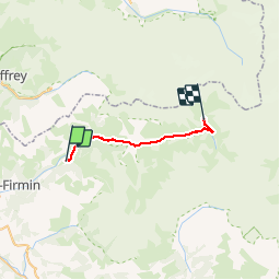

18,8 km | 38 km-effort


Utilisateur


Application GPS de randonnée GRATUITE
 SityTrail
IGN / Instituts géographiques
SityTrail World
Le monde est à vous
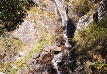
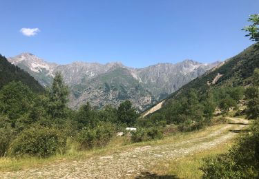
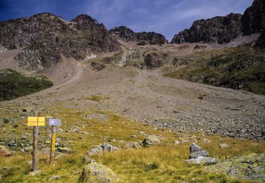
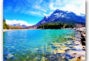
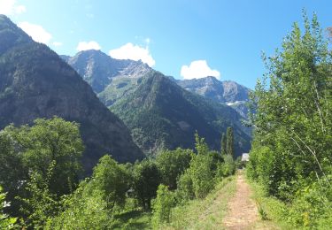
Randonnée Marche de 21 km à découvrir à Provence-Alpes-Côte d'Azur, Hautes-Alpes, Saint-Maurice-en-Valgodemard. Cette randonnée est proposée par christop.
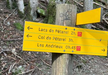
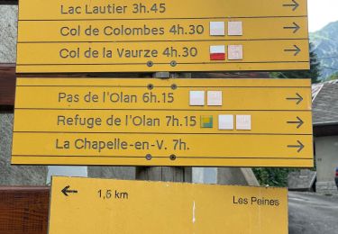
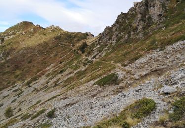
Très belle randonnée dans magnifiques vallées
Marche
Marche
Marche
Marche
Marche
Marche
Marche
V.T.T.

Marche