


11,7 km | 15,8 km-effort


Utilisateur

Application GPS de randonnée GRATUITE
 SityTrail
IGN / Instituts géographiques
SityTrail World
Le monde est à vous
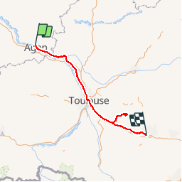
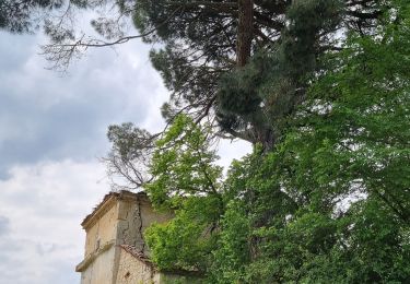
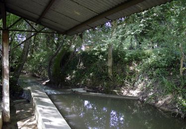
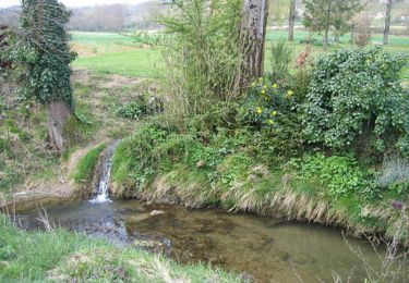
Randonnée Cyclotourisme de 308 km à découvrir à Nouvelle-Aquitaine, Lot-et-Garonne, Agen. Cette randonnée est proposée par ericf64.
fait sur 7 jours en juin 2017 env 400km avec visites

Marche
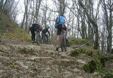
Cyclotourisme
Marche

Marche
V.T.T.
Marche
V.T.T.

Cheval
V.T.T.