


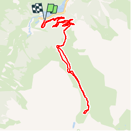

13,1 km | 24 km-effort

Utilisateur


Application GPS de randonnée GRATUITE
 SityTrail
IGN / Instituts géographiques
SityTrail World
Le monde est à vous
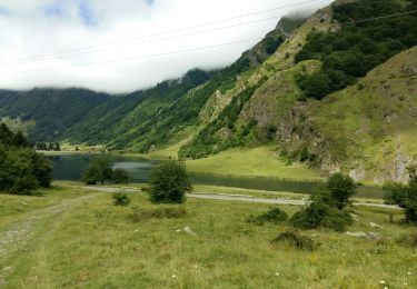
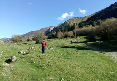
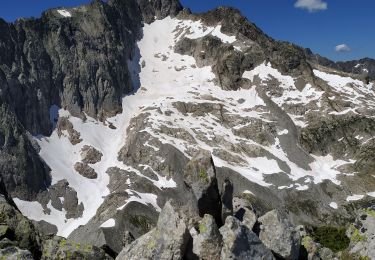
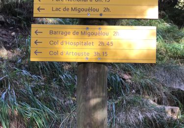
Randonnée Marche de 12,6 km à découvrir à Occitanie, Hautes-Pyrénées, Estaing. Cette randonnée est proposée par dudu85.
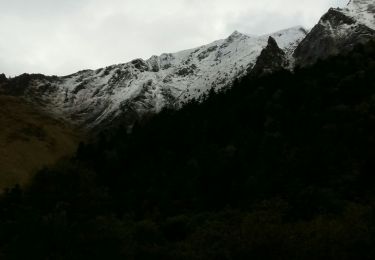
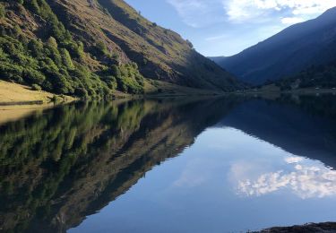
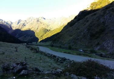
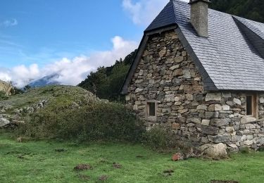
A.R Départ Lac d’Estaing - Cabanes de Barbât... Dénivelé 1877m


Marche
Marche
Marche
Marche
Marche
Marche
Marche
Marche
Marche