


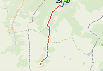

13,1 km | 24 km-effort

Utilisateur


Application GPS de randonnée GRATUITE
 SityTrail
IGN / Instituts géographiques
SityTrail World
Le monde est à vous
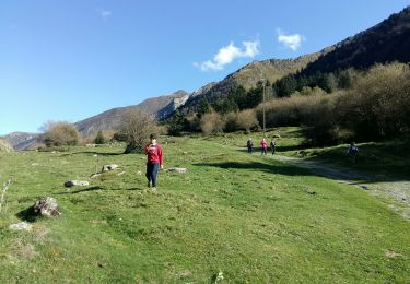
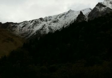
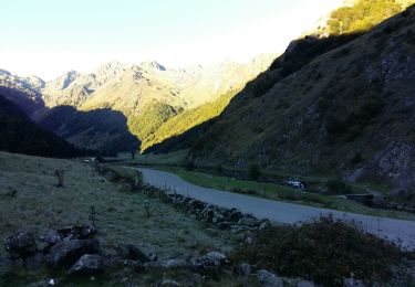
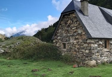
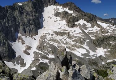
Randonnée Marche de 17,7 km à découvrir à Occitanie, Hautes-Pyrénées, Estaing. Cette randonnée est proposée par jaja64.
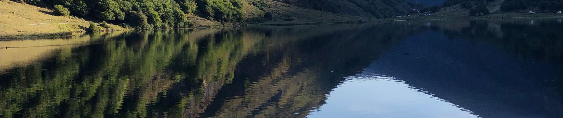
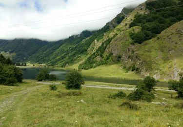
A/R depuis lac d’Estaing


Marche
Marche
Marche
Marche
Marche
Marche
Marche
Marche
Marche