


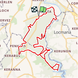

22 km | 26 km-effort

Utilisateur


Application GPS de randonnée GRATUITE
 SityTrail
IGN / Instituts géographiques
SityTrail World
Le monde est à vous
Randonnée Marche de 25 km à découvrir à Bretagne, Finistère, Quimperlé. Cette randonnée est proposée par RonanDAGORN.
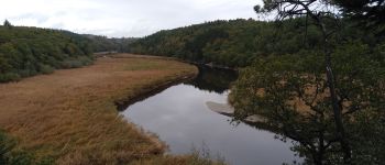
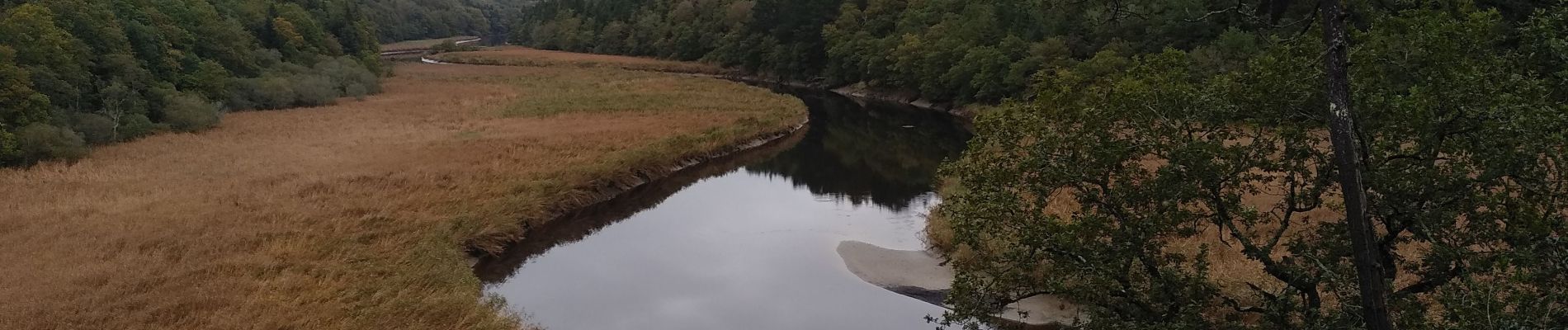
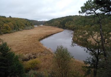
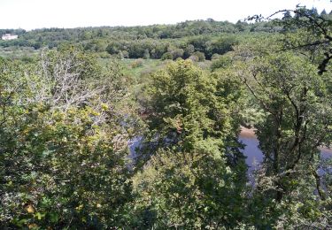
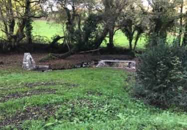
Grand tour de la forêt de Toulfoën


Marche
Marche

Marche

Cyclotourisme
Marche
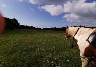
Randonnée équestre
Marche
Marche